




















Sternenweg im Gepatsch
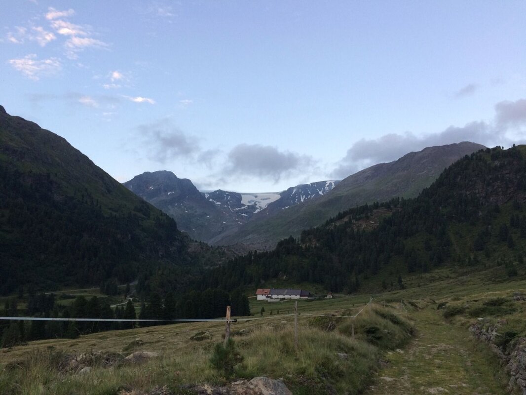
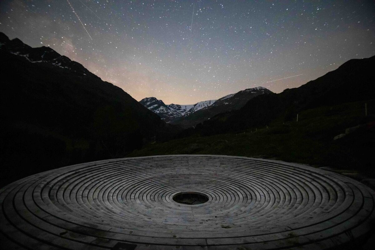


The Gepatsch is a picturesque alpine meadow nestled at the head of the valley, easily reached via the Kaunertal Glacier Panorama Road. The Sterneweg (star trail) starts at the end of the Gepatsch reservoir and offers two variants along easy hiking trails, both leading to the Sternenschale (star bowl).
- Variant 1: from the end of the reservoir, follow the 'Alter Gepatsch Wanderweg' in the direction of the Gepatschalm. After passing the Sternenschale, cross the Gepatsch-Urflbach via the newly built bridge to the Gepatschhaus. Return either via the same route or along the Kaunertal Glacier Road back to the starting point (car park).
- Variant 2: start at the Gepatschhaus and cross the Gepatsch-Urflbach via the newly built bridge to the Sternenschale, then follow the 'Alter Gepatsch Wanderweg' back to the reservoir.
Tip: book a guided 'Hiking under the stars' tour, which happen regularly throughout the summer months and learn more about our nightsky directly from experts.
Please note: The Kaunertal Glacier Panorama Road is open daily from 07.00 to 19.00 between June and August – and from 07.00 am to 17.00 at other times. Outside these opening hours, access is permitted with a valid toll ticket at your own risk – please be sure to check the weather conditions!


