


Kaunerberg Slope Canal & Gallruth Tunnel Waterway
Our walk follows the course of the water, past pools, steep gullies and through the 1,000-metre-long, pitch-black Gallruth Tunnel (a torch is definitely no luxury here!).
The Kaunerberg slope enjoys a south-facing, sunny location which, with just 600 mm of annual rainfall, is one of the driest areas in Austria. For this reason, between 1947 and 1954, funds from the Marshall Plan were used to build a stone-walled canal some 12 km long, which forms the main artery of a branched irrigation system. In combination with two tunnels hewn into the rock, it became possible to use water from the Gallruth Glacier to irrigate these sun-drenched slopes.
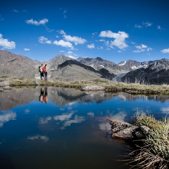
From the bus stop in Kauns (village square), follow the signposts to the tree and shrub nature trail. This leads through the Kauns-Kaunerberg-Faggen nature reserve. At the first road crossing, follow the local road towards Kaunerberg for about 15 minutes until you reach the parish office/nursery school. From here, continue uphill along the road for a short while (up to the second hairpin bend), then follow a small road and soon turn left. After a short stretch through species-rich hay meadows, the path follows the hillside canal. We pass the high-altitude hamlet of Unterfalpetan, which is still permanently inhabited, and later reach the Tosbecken on the Engelbach. We continue our walk to the abandoned farmsteads of Oberfalpetan, briefly losing sight of the canal along the way.
If the route through the tunnel and on to the Gallruthalm proves too long, you will soon have the option of turning off towards the Falkaunsalm, before descending later via the Wiesenhof to Nufels and Platz.
Along the path towards the Gallruthalm, there are several information boards about the construction and function of the hillside canal. We continue hiking uphill until, at 1,900 m, the canal – which is now flowing in the open – levels out and finally flows into the tunnel.
The Gallruth Tunnel is frequently used, but you do so at your own risk! Taller people may have to walk slightly bent over, though it doesn’t always remain as low as it is in the entrance section. Without a good torch or lantern, however, you’ll be in a bit of a pickle. Follow the tunnel to its end. About two-thirds of the way along, there is a ‘window’ – do not get out here!
At the end of the tunnel, you find yourself in the Gallruth valley and soon reach the start of this irrigation system below the farmstead at Gallruthalm.
The descent from the alp to Nufels follows the right-hand side of the Gallruthbach stream. We follow the path across the pasture, through the woods to the road. After a short stretch, you reach the ‘Alter Schulweg’ and follow this again to the road, which then leads left towards the hamlet of Nufels. From here, we continue downhill to the bus stop in the hamlet of Platz.


