




















Hohe Aifnerspitze


The Aifner Alm is the starting point for this scenic summit hike. From Kaunerberg, drive toward the Naturparkhaus; about 1 km past the hamlet of Falpaus, turn right onto the signposted road to Aifner Alm. The parking area is by the stream, just below the summer-staffed alm.
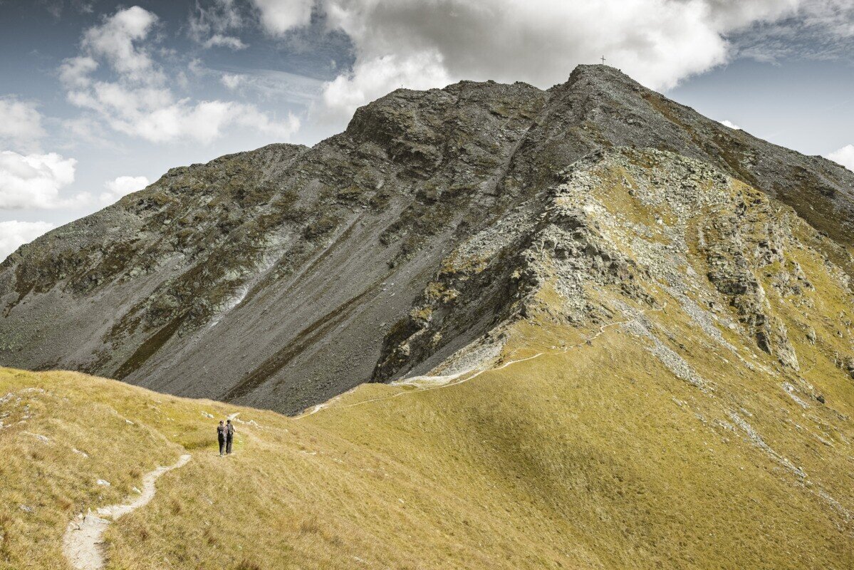
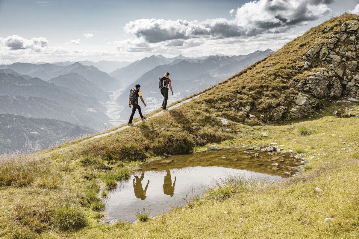
The trail passes the alm building and climbs through beautiful pastures surrounded by Swiss pines. The well-marked path continues over the treeline along a broad ridge to a signpost, then turns south toward Aifner Spitze (2,558 m), where a small summit cross offers stunning views over the Kaunertal, the Inntal, and into Switzerland.
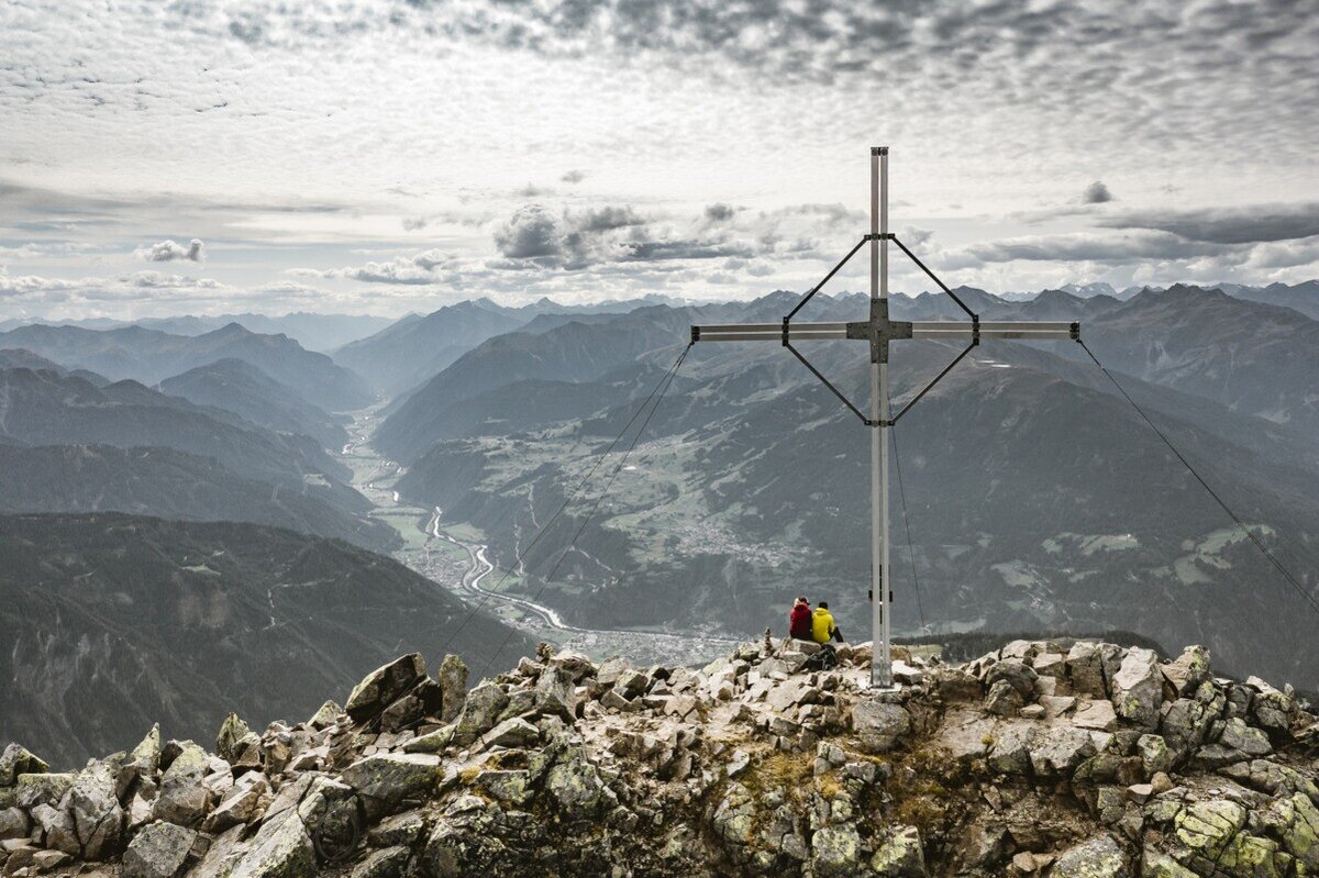
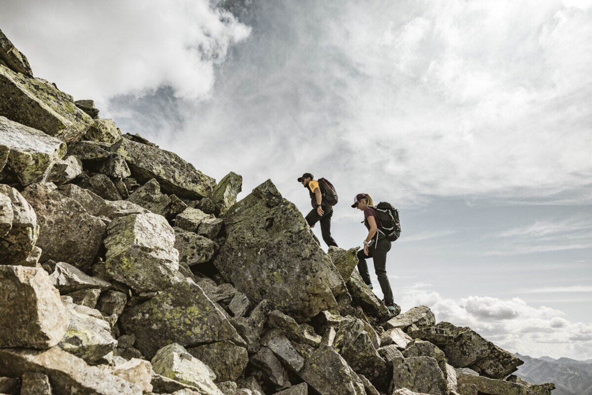
Continuing to Hohe Aifner Spitze, the path is initially gentle up to a shelter, then steeper and rockier for the final 230 m, occasionally requiring the use of hands for support. At the large summit cross, enjoy a truly spectacular panoramic view. The descent follows the same trail back to Aifner Alm, where you can relax and enjoy a sunny alpine snack.


