Hiking tour

Theierjoch | Perflkopf

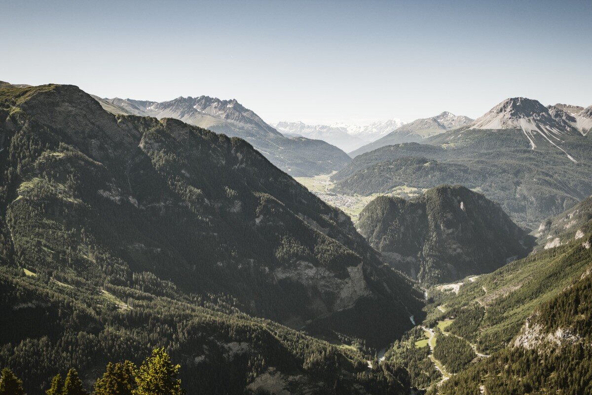
The hike starts at Wand. From there, the route first follows forest road no. 22 uphill for a short distance. After a while, forest path no. 23 branches off and leads through the woods up to Perflkopf. From Perflkopf you can enjoy a wonderful view of the surrounding landscape. The marked trail continues from here towards the summit. The final section up to the summit cross at Theierjoch becomes steeper again, but rewards hikers with a magnificent view into the Radurschltal with Glockturm and the surrounding mountain scenery. The return follows the same route back.
tour1
6.4:1.1h
949m
11.18km
Highest point
2328m
Start point
Wand | Pfunds
End point
Wand | Pfunds

Similar Tours

Medium
458m | 4.43h | 10.43km
Hiking tour
Anton Renk-Hütte | Rundwanderung
Begin: Parkplatz Seilbahn Talstation | Ried im Oberinntal
End: Parkplatz Seilbahn Talstation | Ried im Oberinntal
Medium
438m | 3h | 8.9km
Hiking tour
Rescher Alm
Begin: Bergstation Mutzkopf
End: Reschner Alm
Medium
950m | 7.5h | 14.6km
Hiking tour
Kreuzjöchl (2.641m) & Fisslad-Tal
Begin: Seepanorama
End: Seepanorama
Easy
82m | 1h | 1.7km
Hiking tour
Seeles Seen
Begin: Parkmöglichkeit Riffeltal (an der Gletscherstraße)
End: Seeles Seen
Difficult
1118m | 8.2h | 17.98km
Hiking tour
Zirmesspitze
Begin: Parking area Seilbahn Talstation | Ried im Oberinntal
End: Parking area Seilbahn Talstation | Ried im Oberinntal
Easy
588m | 4h | 11km
Hiking tour
Etschquelle
Begin: Nauders
End: Lärchenalm
Difficult
830m | 5.5h | 10.6km
Hiking tour
Dr. Angerer Höhenweg
Begin: Falkaunsalm
Medium
990m | 6.75h | 11.1km
Hiking tour
Stupfarri Köpfle (2.808 m) & Kugleter See (2.751 m)
Begin: Parkplatz unterhalb Hahntennen 1.830 m
End: Parkplatz unterhalb Hahntennen 1.830 m