


Hiking tour
Via Stables to the Jochelius mountain resort

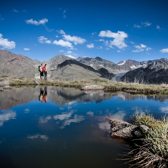
Above the village church in Nauders, you first head south along the tarmac road. After a few
hundred metres, Hiking trail no. 18 begins on the left. Through the forest the route goes past
the Novelleshof, over the mountain meadows and through the “Wassertal” to the old Berghof
Stables. North of the old farm, the path branches off to the southeast. It continues relatively flat
through the spruce and larch forest to the “Kuhboden”. This is where the descent through the
Valdafur valley begins, past the Nauders ski hut to the Jochelius mountain resort. After a stop,
you go back down the Holy Tree pastures (No. 19) to the valley.
tour1
547m
7.2km
Highest point
1942m
Start point
Kirche zum Hl. St. Valentin Nauders
End point
Bergresort Jochelius


