




















Hiking tour
Höhenweg Dreiländergrenzstein
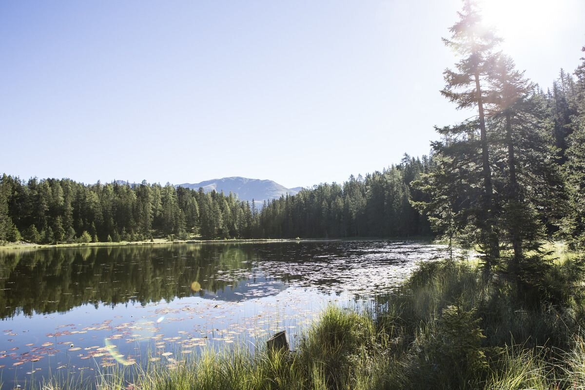
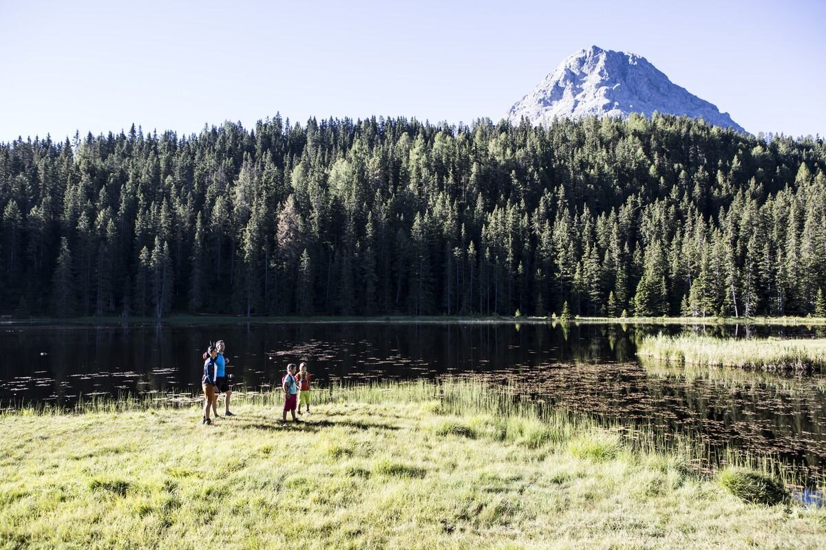


On the tour from Nauders to the Three-Country Boundary Stone at 2,179 m, you cross the borders to Italy and Switzerland in sections. The reward at the end is an impressive panorama. First take the Mutzkopf chairlift up to the Kleiner Mutzkopf (1,812 m). From the mountain station, trail no. 9 leads through the forest to the Black Lake. Continue along trail no. 6 to the Grüner See lake. You then follow this route to the "Großmutzkopf" junction and continue on trail no. 47 to the Dreiländergrenzstein. Return along trail no. 7 to the Großer Mutzkopf and continue downhill at the Tiefhof. From here the Tiefer Sommerweg leads back to Nauders.
tour1
6.5:0h
753m
12.4km
Highest point
2165m
End point
Gasthof Martha


