




















Hiking tour
Von der Labaunalm zur Fluchtwand
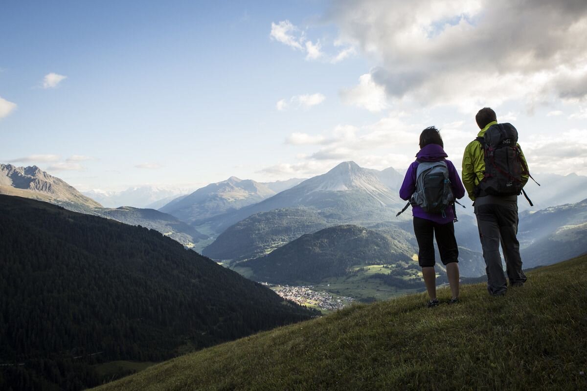
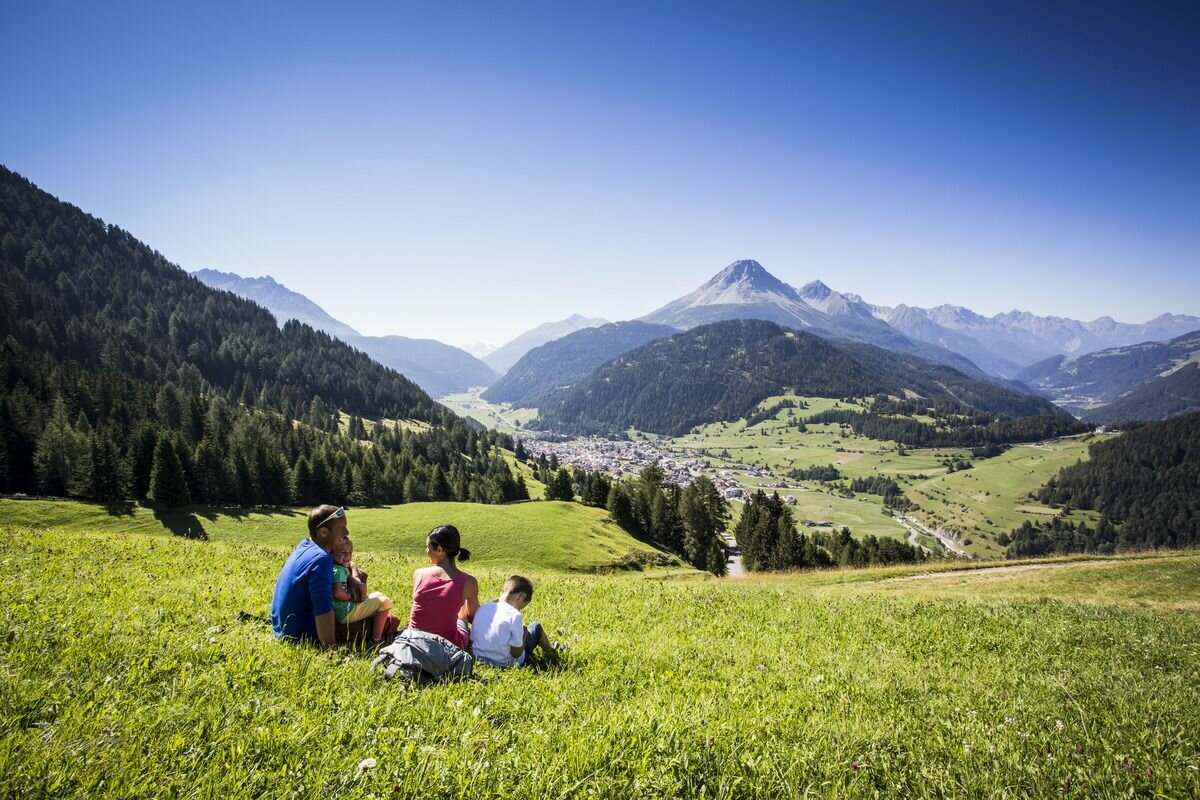


A romantic round-trip: The hiking taxi takes you from Nauders to Labaunalm. A few metres below the alpine pasture, the route (No. 16a) leads for a while through a sparse larch forest and then down to a road. Further over the Labaunbach, over dry grass meadows up to the Bazahler meadows. At the back you come across Hiking trail no. 16 and reach the highest elevation of the Bazahler Köpfe at about 2,160 metres. Some of it is a bit steeper through edelweiss meadows at the foot of the Fluchtwand. The steep red Trail no. 15a leads north to the summit cross of the Fluchtwand at 2,328 m. This mountain inspires with the unique view of three countries and the mighty, surrounding mountains. The way back is via Trail no. 15 and 14 to Labaunalm and past the Parditschhof back to Nauders (No. 14 or 14a)
tour1
4.5:0h
489m
10km
Highest point
2330m
Start point
Labaunalm
End point
Fluchtwand


