Hiking tour

Schmalzkopf

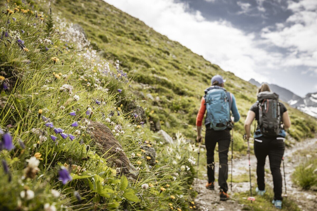
The hike starts in the Radurschl Valley. From here, the trail turns right into the forest and follows trail marker No. 26. Shortly afterwards, the path branches off to the right and passes the drinking water spring of Pfunds. Continue following the marked trail to the Lukaskreuz and then further along route No. 26 up to the Schmalzkopf. The return follows the same route back to the starting point.
tour1
8.6:4.2h
1319m
13.25km
Highest point
2717m
Start point
Parkplatz Wildmoos | Pfunds
End point
Parkplatz Wildmoos | Pfunds

Similar Tours

Medium
753m | 6.5h | 12.4km
Hiking tour
Höhenweg Dreiländergrenzstein
End: Gasthof Martha
Medium
30m | 3h | 8.5km
Hiking tour
Wanderung zur Goldseehütte
Begin: Bergkastel Bergstation
End: Pfarrkirche St. Valentin
Difficult
830m | 5.5h | 10.6km
Hiking tour
Dr. Angerer Höhenweg
Begin: Falkaunsalm
Medium
300m | 2.67h | 6.2km
Hiking tour
Panoramaweg Aifner Alm - Falkauns Alm
Begin: Aifneralm oder Falkaunsalm
End: Falkaunsalm oder Aifneralm
Difficult
792m | 3.6km
Easy
518m | 4h | 8.4km
Hiking tour
Wanderung zum Schwarzen See
Begin: Nauders
End: Nauders
Easy
150m | 4h
Hiking tour
Mösle - Pflanzgareten - Sclamishot
Begin: Nauders
End: Martinsbruck
Difficult
1643m | 7h | 10.2km