


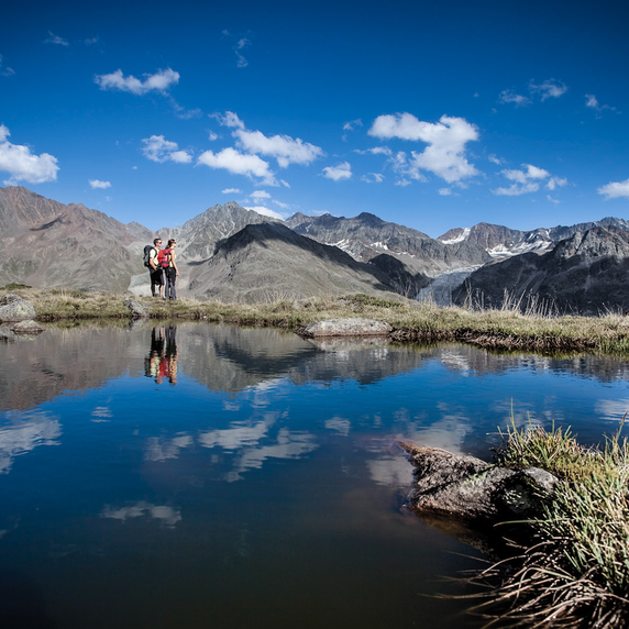


Hiking tour | Thematic route
Radurschlklamm - Greit


Opening status | Open
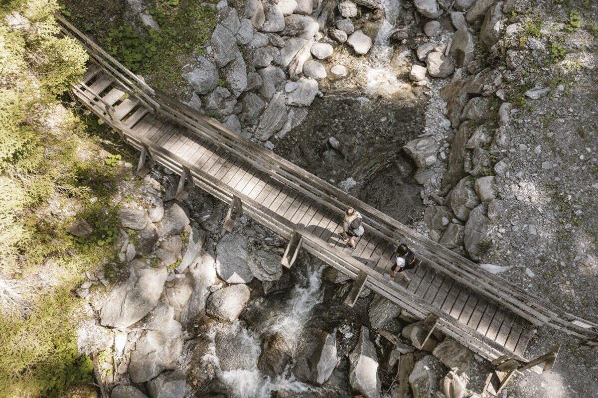
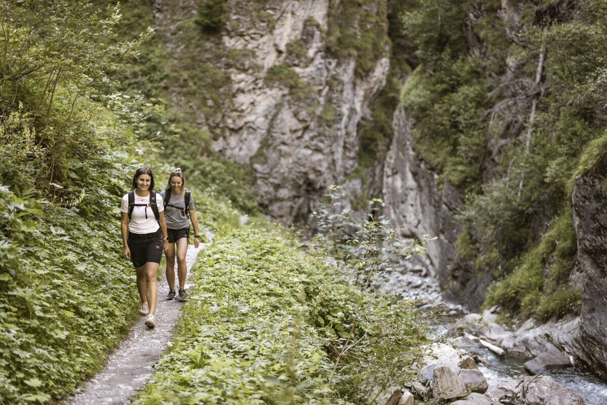
From the information office Pfunds you walk towards the village, over the bridge over the river Inn with the tower "Turaloch" up towards the village. Turn left towards the Dorf roundabout. From the roundabout it goes upriver towards the edge of the forest. Here is the beginning of the Klammsteig, a wildly romantic, unique gorge with several bridges and a suspension bridge, thunderous waterfalls and overhanging rocks. At the end of the gorge, a path branches off to the left towards Greit. This path leads to the Greiterstraße where you immediately turn right onto a forest path. Later this path branches off to the left again onto the Greiterstraße, from where the old Greiterweg leads back to the village.
Tip: ideal on hot days
Refreshment possibility: Berghof in Greit Thursday & Sunday
Caution: in case of rain and wet: risk of slippage & rockfall!
Important Note status report!
Tip: ideal on hot days
Refreshment possibility: Berghof in Greit Thursday & Sunday
Caution: in case of rain and wet: risk of slippage & rockfall!
Important Note status report!
tour1
3:0h
469m
8.8km
Highest point
1396m
Start point
Infobüro Pfunds
End point
Pfunds Dorf


