




















Ölgrube - Wannet (circular trail)
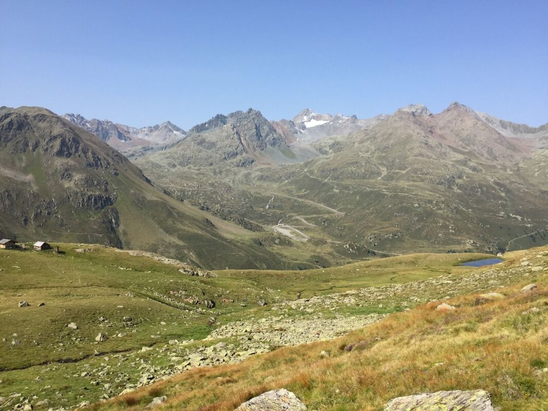
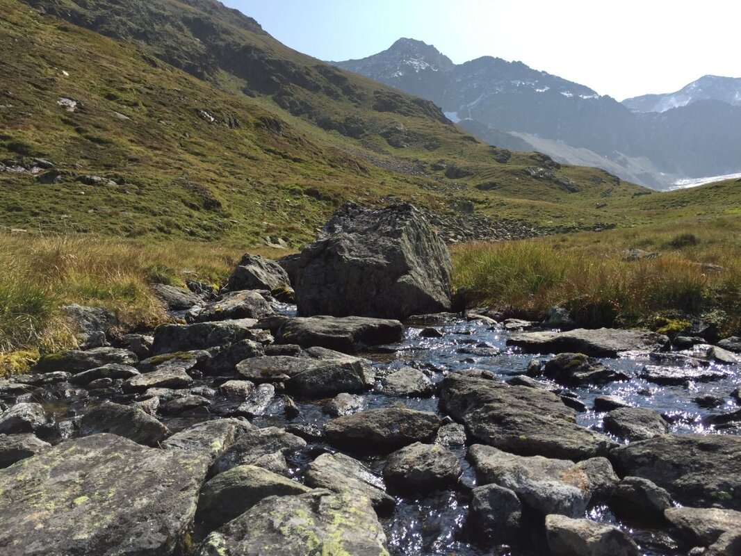
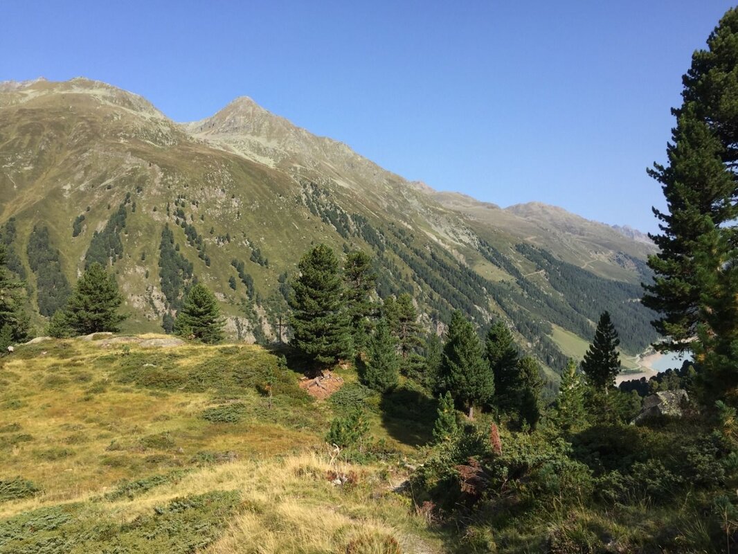
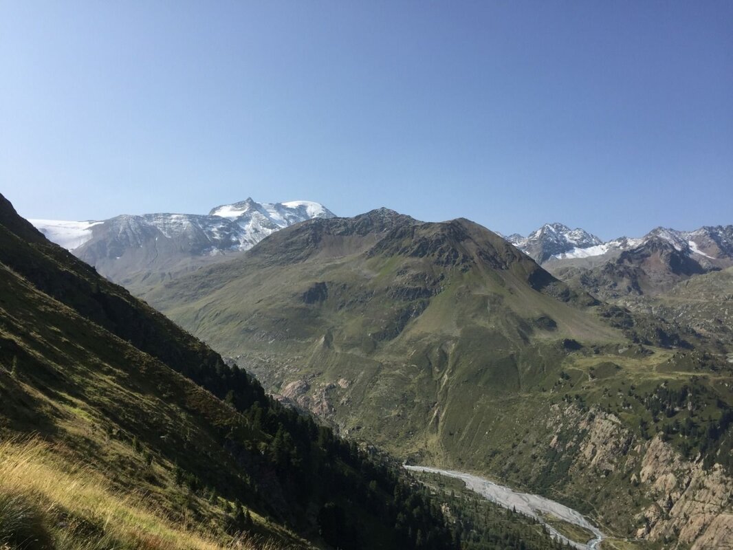


A hike in the Ötztaler Alpen nature reserve, Natura 2000 area — through breathtaking scenery and with a unique perspective on the glacier tongue!
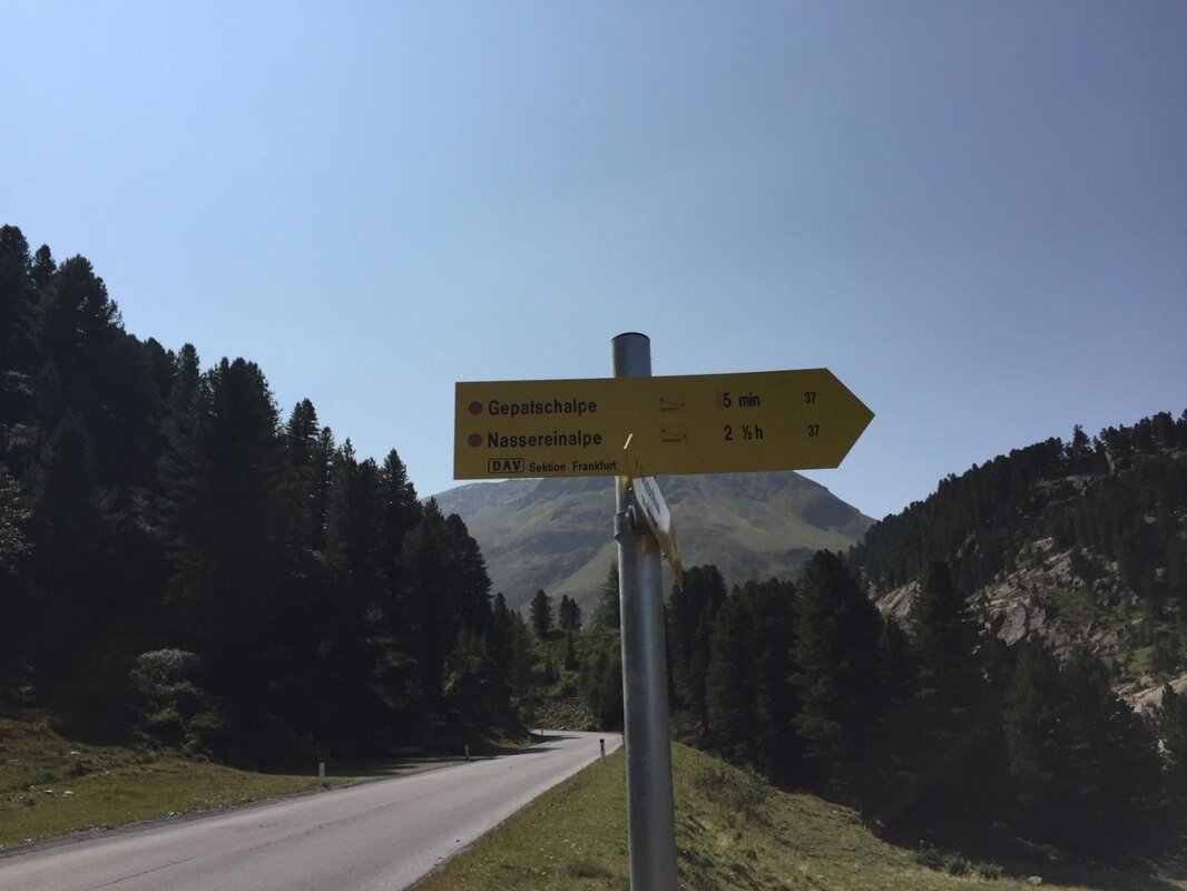
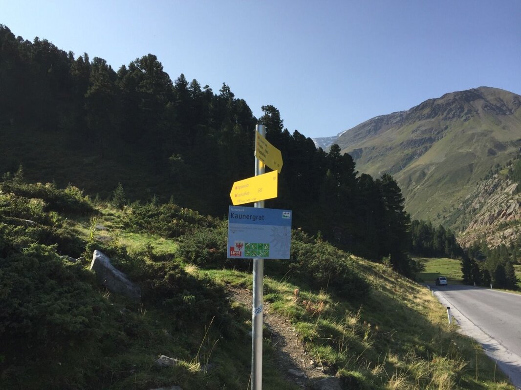
The starting point is the bus stop and car park on the Glacier Panorama Road near the Gepatschhaus. Shortly after the car park, branch off to the east of the road and follow trail No. 924 uphill towards the Ölgrubenjoch.
Note: The circular route is signposted in the opposite direction at this point. Of course, you are free to start in either direction. To tackle the more strenuous section first - and not least for the impressive views - the hike is described here in a clockwise direction.
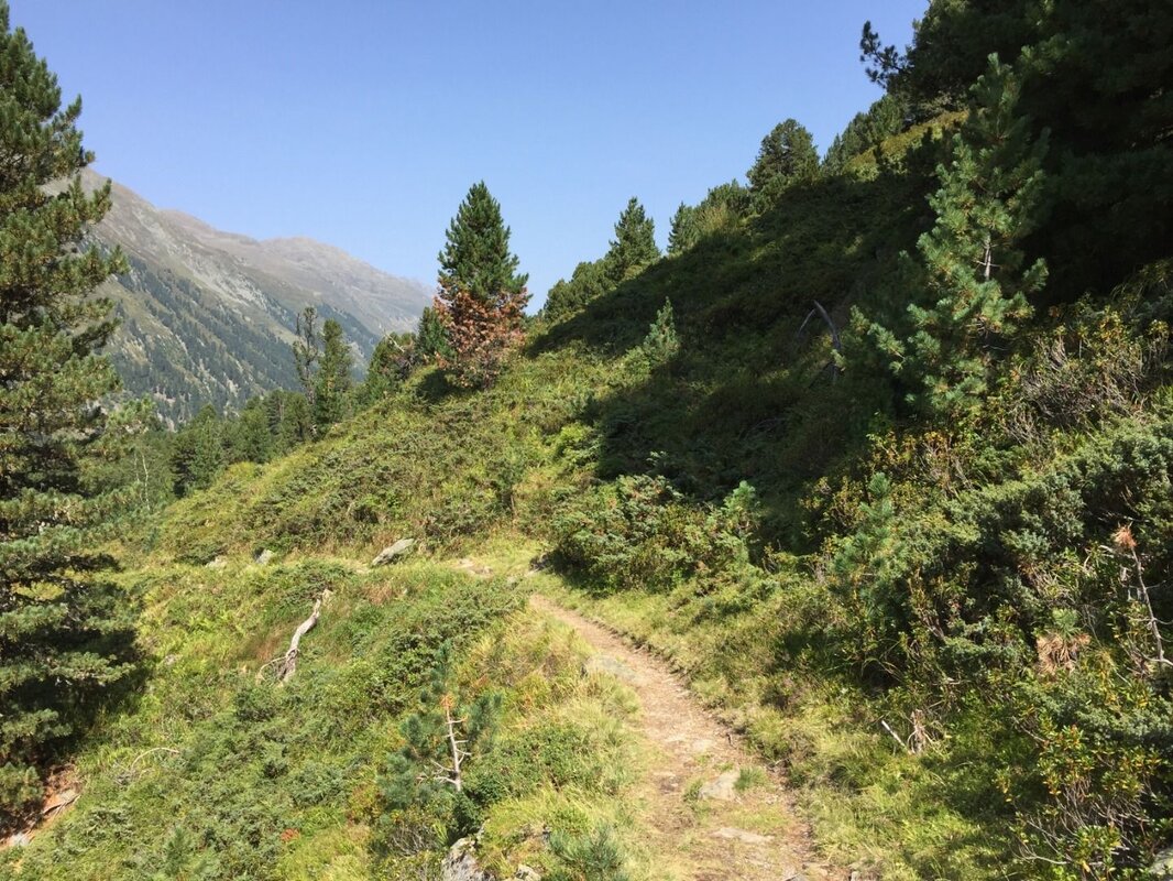
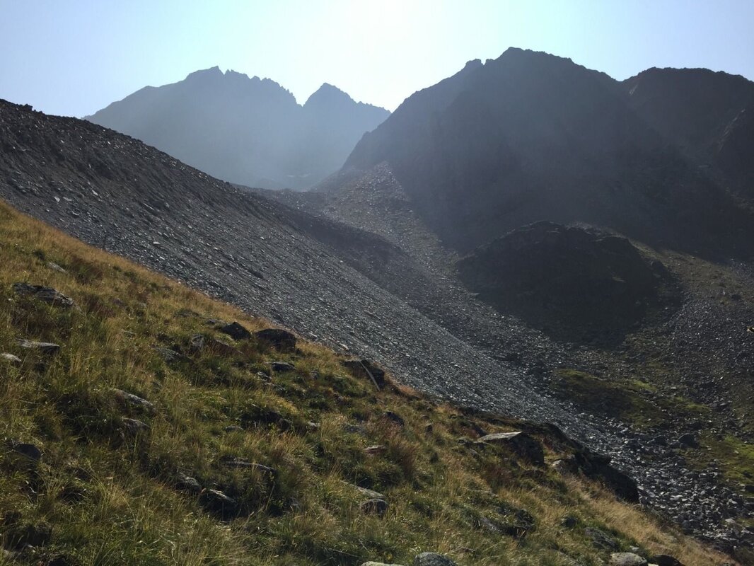
Those who set off early enough can complete the ascent into the Ölgrube in the pleasant cool of the morning. Through an open Swiss stone pine forest, a wayside cross soon comes into view, set on a small rise slightly off the path. Continue along the marked trail uphill. Upon reaching the Innere Ölgrube, a junction appears where the trail to the Ölgrubenjoch branches off. To reach the Wannet, follow path No. 33 to the right, heading south. The trail runs just below the steep front face of the rock glacier, which reaches up to 70 m in height. This particularly impressive, tongue-shaped rock glacier is active and moves up to 2 m per year.
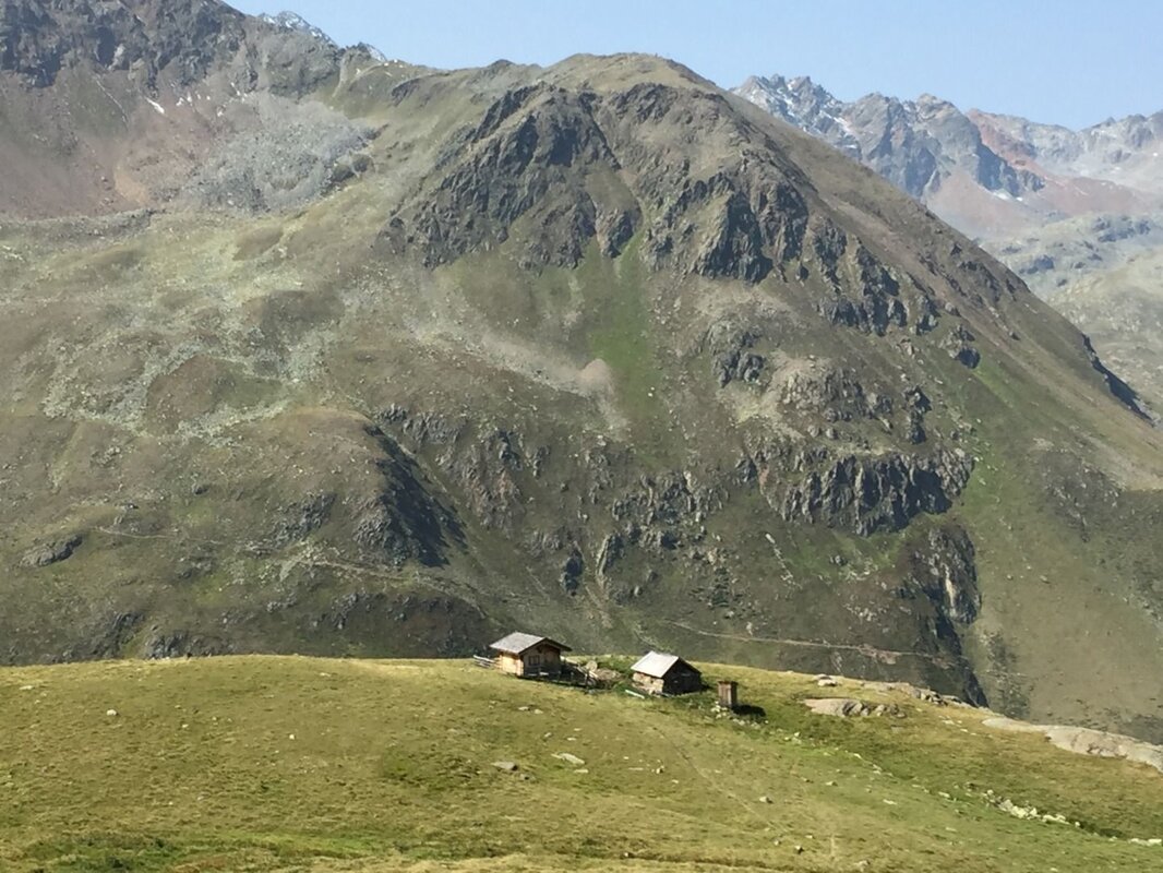
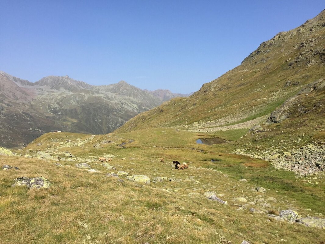
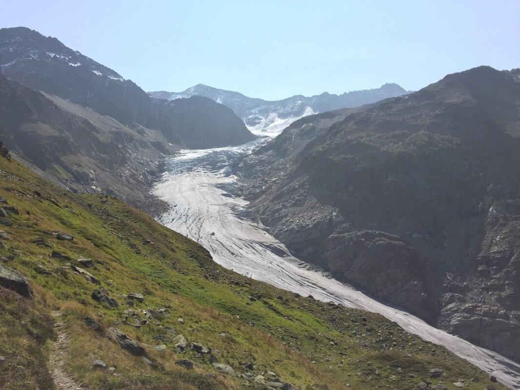
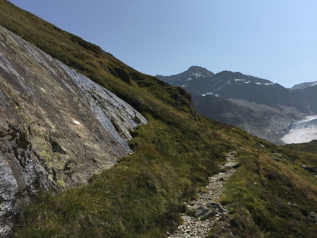
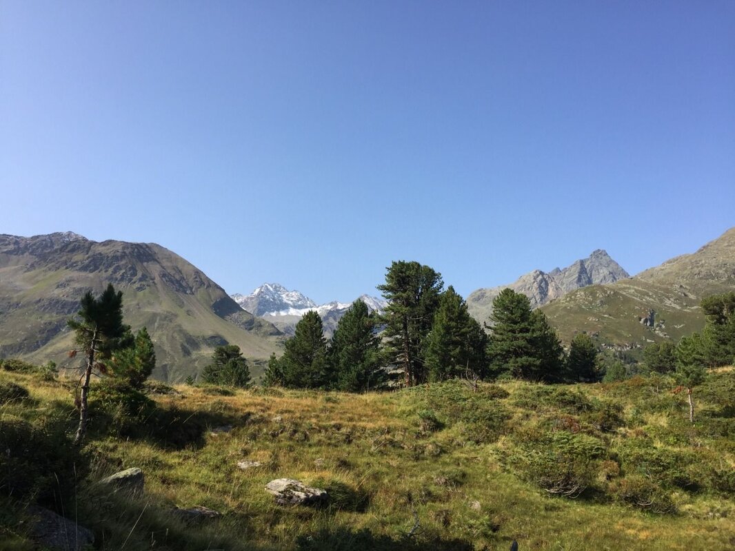
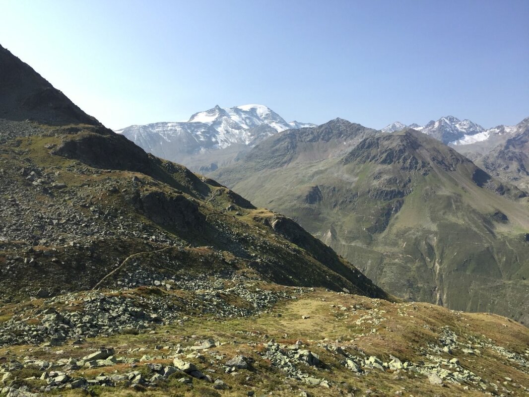
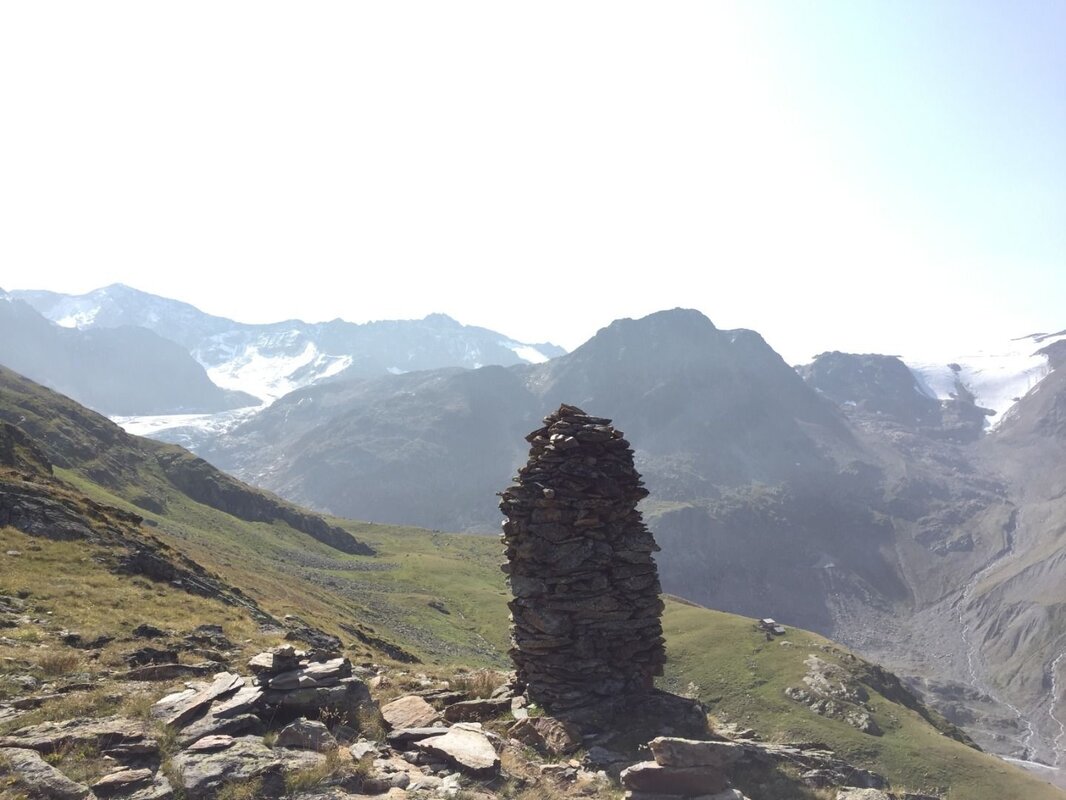
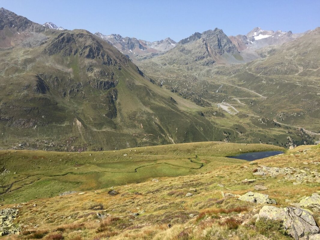
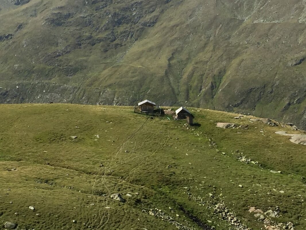
Continue uphill through this fascinating landscape until a prominent cairn is reached on a beautiful open area with a fabulous view of the Weißseespitze. The section through the Wannet that follows is pure pleasure! The trail winds along the slope through beautiful dwarf shrubs. Down in the Wannet, a shepherd's hut comes into view - continue above it until you descend into the valley floor. The whistles of marmots announce your approach, serving as a warning of the oncoming hiker. The grazing sheep nearby, however, seem largely unbothered. On the valley floor, the path becomes somewhat indistinct. Keep heading south and pick up the trail again as it becomes clearly visible once more, leading further downhill. The glacier tongue of the Gepatschferner - despite massive losses, still an imposing sight - draws ever closer. Shortly, a junction is reached where a black trail branches off towards the Rauhekopfhütte. Those wishing for an even more dramatic bird's-eye view of the glacier tongue in its impressive glacial bed can follow this path for approximately 100 metres to a small viewpoint, from where the glacier tongue and its prominent ice break are clearly visible.
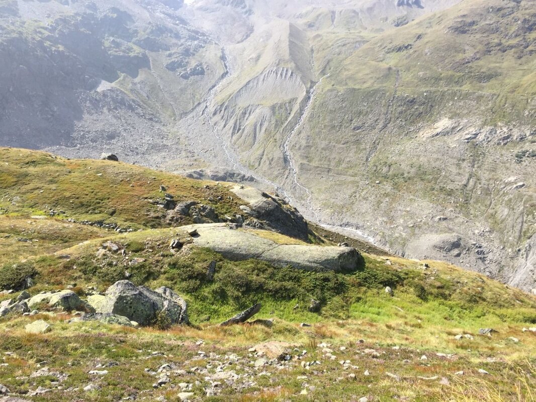
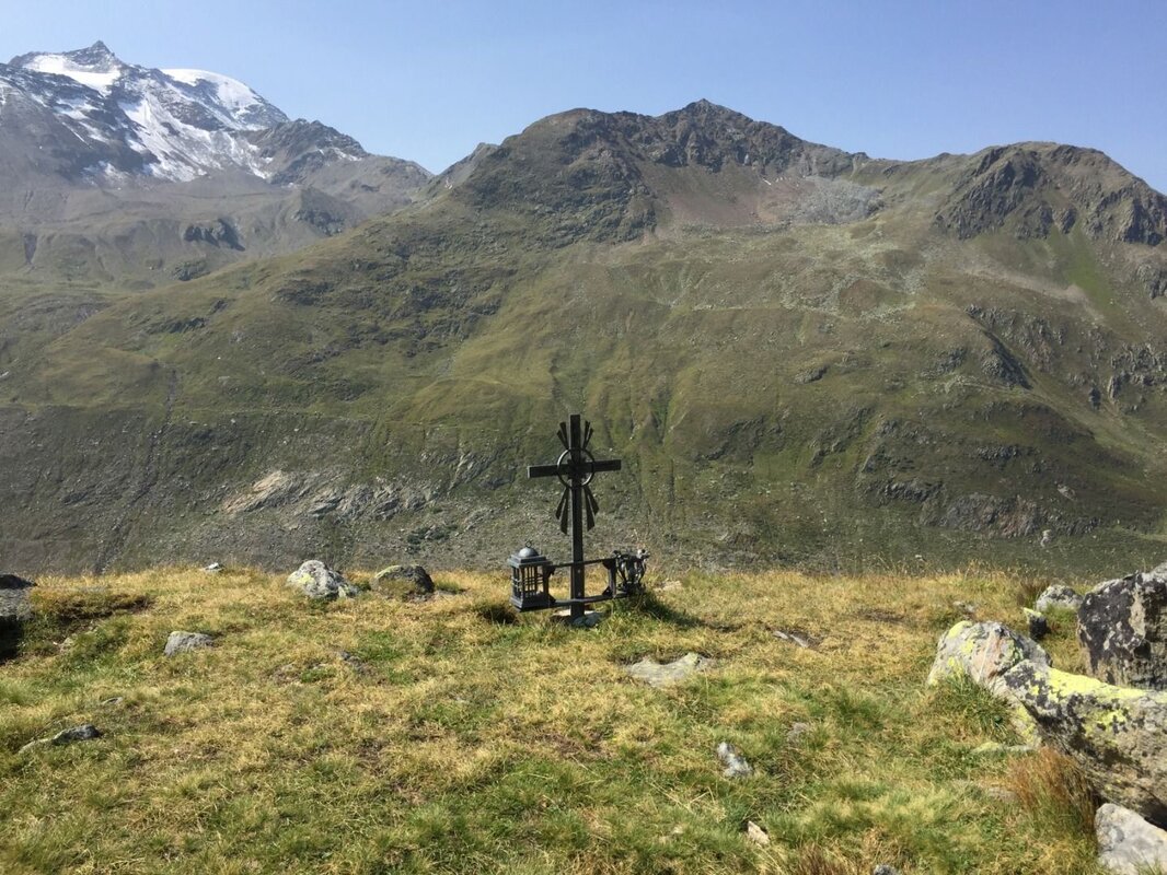
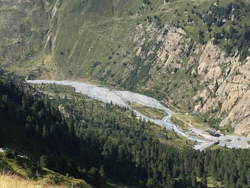
Back at the junction, follow the trail downhill towards the Gepatschhaus. Another particularly beautiful section of the route begins. After a picturesque open area with a Marterl, the path continues above the lateral moraine left behind by the Gepatschferner at its maximum extent during the Little Ice Age around 1850. Older glacially polished rock surfaces are also clearly visible along the way. Full concentration is required once more for this traverse across the slope after the Marterl for certain sections are exposed and there is a risk of falls! The view down into the Fernergries, as the glacier forefield of the Gepatschferner is known, is fascinating. Alongside the many magnificent impressions this hike offers, the retreat of the glacier is sadly all too evident here.
The trail eventually leads down into the valley, from where a stroll along the Glacier Panorama Road returns you to the starting point at the Gepatschhaus where a visit to Austria's oldest Alpine Club hut is highly recommended!
Further reading: K. Krainer (2016): Naturpark Kaunergrat (Pitztal-Fließ-Kaunertal), Gesteine, Gebirgsbildung und Formung der Landschaft.


