




















Hantennen | Ochsenberg Alm

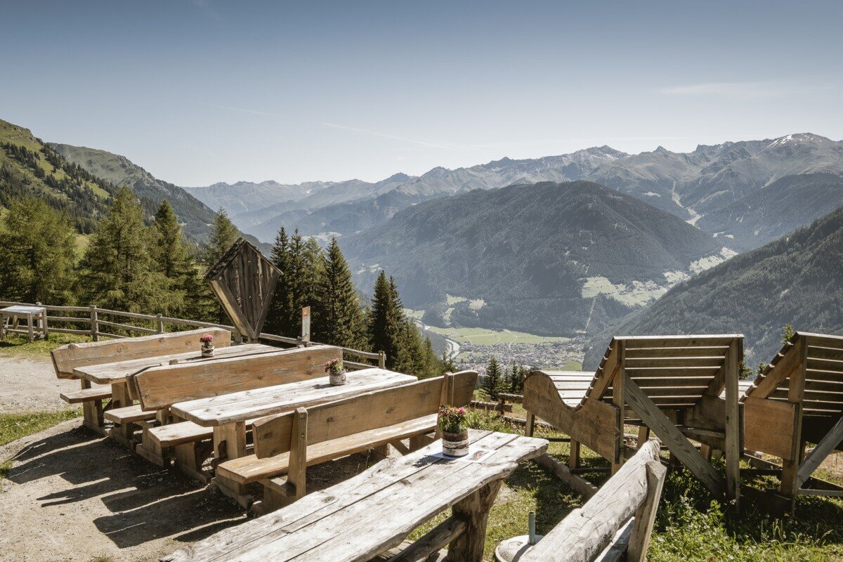




From Pfunds, drive up to Kobl to the parking area at Kobler Alm. From there, follow the alpine road through lush meadows up to Kobler Alm, where you can enjoy a wonderful view of Pfunds and the surrounding mountains. Right at the hut, a scenic high-altitude trail begins across the Kobler alpine meadows (trail no. 22). A narrow, gently ascending path branches off toward Hahntennenberg, offering beautiful views of Pfunds and the surrounding landscape along the way. After a short break, the trail continues across meadows and alpine pastures, gently descending to the left over the green grazing slopes toward Ochsenbergalm. From there, the route leads downhill until a signpost directs you back toward Kobler Alm. Following this path brings you back to the starting point at the Kobler Alm parking area, completing a beautiful circular hike.


