Hiking tour

Kreuzjoch | Hahntennen
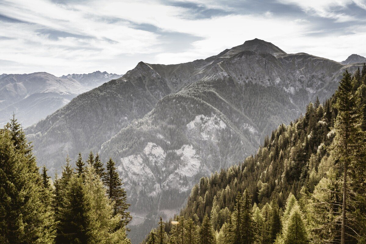
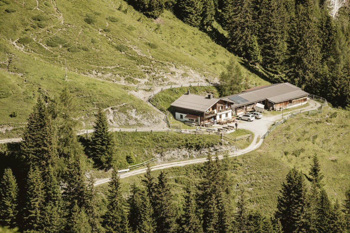
The tour starts with the drive up to Kobl and the parking area at Kobler Alm. From the parking lot, follow the road back for a short distance until trail no. 1 branches off to the left into the forest. This path leads through a short forest section and up to alpine meadows at around 2,074 m. Here you can admire a rich variety of alpine flora, including arnica and pasque flowers. At the same time, magnificent panoramic views open up toward the nearby Engadin and the Ötztal Alps. A narrow, ascending path then branches off to the right (caution when wet) and leads up to Hahntennenberg at 2,255 m. After a short break and enjoying the stunning views, continue along a gently rising ridge hike to Kreuzjoch at 2,698 m, where a breathtaking panorama of the Samnaun group and the Ötztal Alps awaits. The descent follows trail no. 21 via Kobler Alm and then continues back to the Kobler Alm parking area.


tour1
7.4:1.1h
1091m
12.87km
Highest point
2689m
Start point
Parkplatz Kobler Alm | Pfunds
End point
Parkplatz Kobler Alm | Pfunds

Similar Tours

Difficult
908m | 4.9km
Hiking tour
Glockturm
Begin: Parkplatz Weißsee
End: Glockturm
Medium
588m | 4.92h | 13.5km
Hiking tour
Frudiger | Circular Hike
Begin: Parking area Tscheylücke | Pfunds
End: Parking area Tscheylücke | Pfunds
Medium
1113m | 8.5h | 19.92km
Hiking tour
Staföller Alm
Begin: Infobüro TVB | Ried im Oberinntal
End: Infobüro TVB | Ried im Oberinntal
Easy
907m | 4.5h | 12.2km
Hiking tour
Border tour Plamortboden via Kompatsch
Begin: Nauders
End: Nauders
Medium
593m | 4.5h | 9.2km
Hiking tour
Kaiserschützenweg - fortress variant
Begin: Festung Nauders
End: Nauders
Easy
82m | 1h | 1.7km
Hiking tour
Seeles Seen
Begin: Parkmöglichkeit Riffeltal (an der Gletscherstraße)
End: Seeles Seen
Medium
760m | 5h | 8.8km
Hiking tour
Große Verpeilrunde
Begin: Feichten
End: Verpeilhütte
Easy
518m | 4h | 8.4km
Hiking tour
Wanderung zum Schwarzen See
Begin: Nauders
End: Nauders