


Hiking tour
Hohenzollernhaus - Smaragdsee
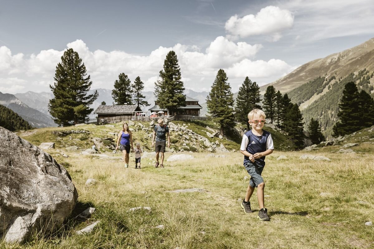
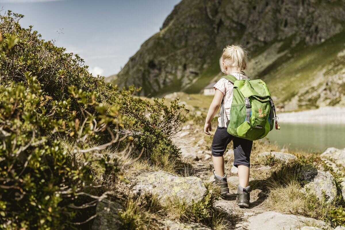


Drive from Pfunds into the Radurschl to the Wildmoos car park. An exceptionally beautiful high-level hike, especially suitable for families, along the rushing stream into Raduschl No. 10. There are two ways to reach the Hohenzollernhaus. The 1 variant leads left over the bridge to the Radurschl Alm, the so-called Sommersteig. The 2nd variant leads right before the bridge, through the Swiss stone pine forest, past the sculpture park, a place to relax for the whole family, in to the material cable car and the waterfall and then steeply ascending the so-called Wintersteig up to the Hohenzollernhaus. The Hohenzollernhaus offers ideal accommodation and the best food if you want to climb the three thousand metre peaks in this mountain massif.
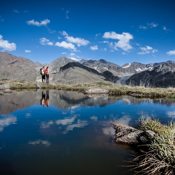
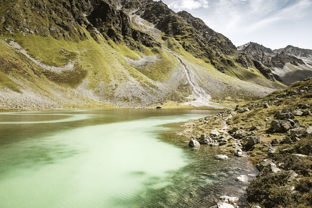
From Hohenzollernhaus in Pfunds a short hike leads up to the emerald-green mountain lake, this lake was created by a mudslide in 2019.
Tip: every Tuesday a hiking bus leaves for the Radurschl
Tip: emerald green mountain lake
Refreshments: Radurschlalm, Hohenzollernhaus
From Hohenzollernhaus in Pfunds a short hike leads up to the emerald-green mountain lake, this lake was created by a mudslide in 2019.
Tip: every Tuesday a hiking bus leaves for the Radurschl
Tip: emerald green mountain lake
Refreshments: Radurschlalm, Hohenzollernhaus
tour1
5.5:0h
618m
15km
Highest point
2208m
Start point
Parkplatz Wildmoos
End point
Bergsee im Radruschl


