Hiking tour

Talwanderweg "Via Claudia Augusta" Abschnitt Prutz-Ried-Tösens

Opening status | in preparation
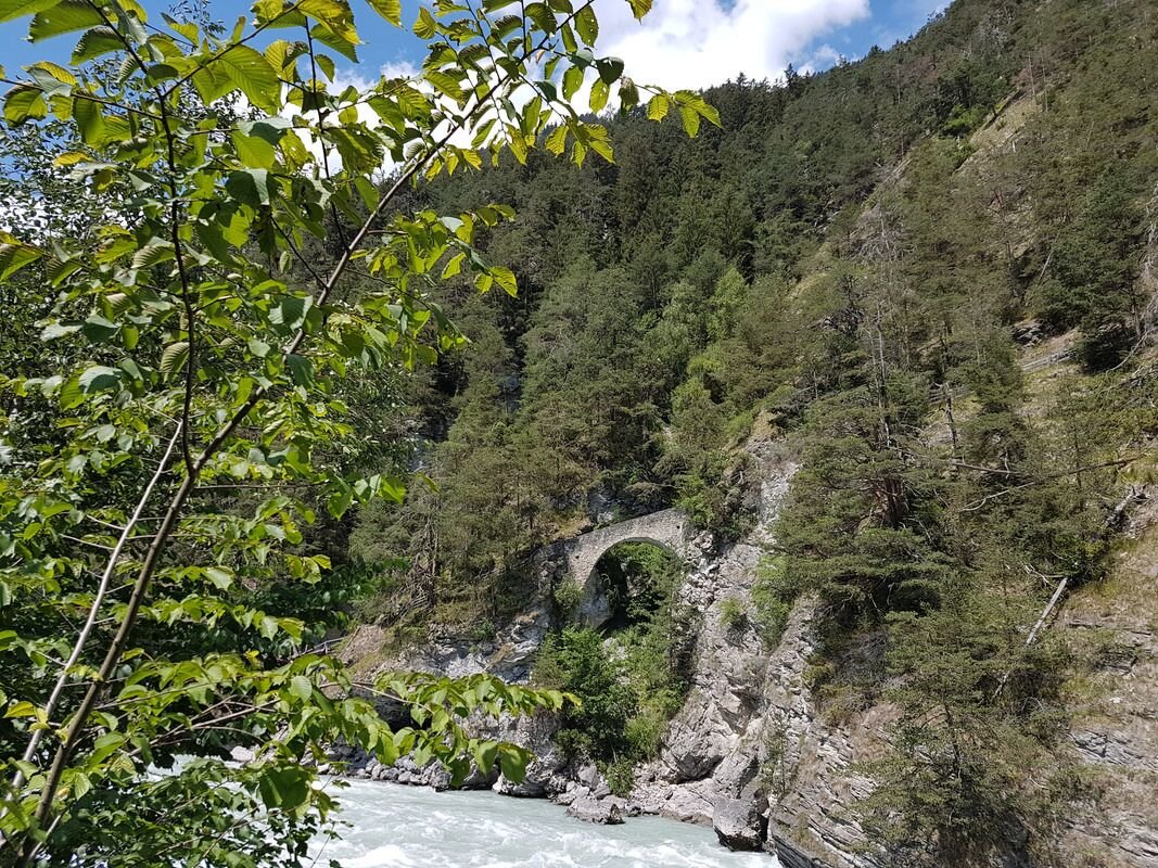
The Rieder section leads from Prutz to the Inn bridge. There the path branches off to the left behind the bridge and leads to the Wollspinnerei Schöpf (Frauns district). The path runs close to the Inn, soon climbs and leads through wild and romantic steep slopes to Untertösenes and on to Tschuppbach. Between Untertösens and Tschuppbach you pass the Roman bridge. Return on the same way or from the municipal office of Tösens with the post bus.
228m
8.8km
Highest point
955m
Start point
Ried
End point
Tösens

Similar Tours

Difficult
830m | 5.5h | 10.6km
Hiking tour
Dr. Angerer Höhenweg
Begin: Falkaunsalm
Medium
469m | 3h | 8.8km
Hiking tour
Radurschlklamm - Greit
Begin: Infobüro Pfunds
End: Pfunds Dorf
Medium
973m | 6.75h | 9.89km
Hiking tour
Madatschkopf (2.778 m) und Mooskopf (2.532 m)
Begin: Parkplatz Verpeilalm
End: Parkplatz Verpeilalm
Medium
1131m | 7h | 4.3km
Hiking tour
Ölgrubenjoch
Begin: Gepatschhaus
End: Ölgrubenjoch
Medium
753m | 6.5h | 12.4km
Hiking tour
Höhenweg Dreiländergrenzstein
End: Gasthof Martha
Medium
1240m | 8h | 16.5km
Hiking tour
Schmalzkopf, 2.728 m
End: Nauders
Medium
300m | 2.67h | 6.2km
Hiking tour
Panoramaweg Aifner Alm - Falkauns Alm
Begin: Aifneralm oder Falkaunsalm
End: Falkaunsalm oder Aifneralm