Hiking tour

Perflkopf - Toarjoch

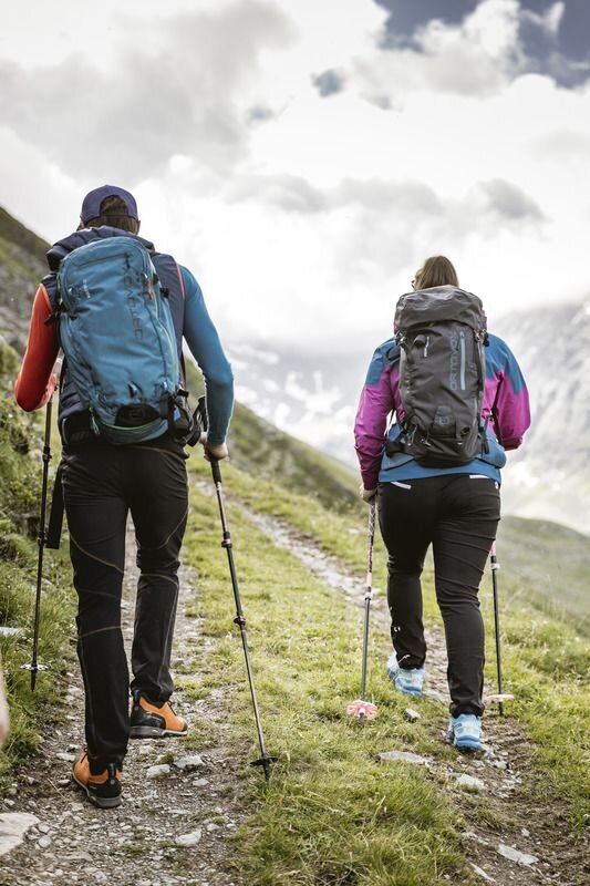
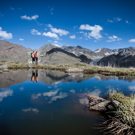
Drive up to the wall, from there the first part of the way goes up on the forest path no. 22. Then forest path no. 23 branches off and leads up to Perflkopf. The Perflkopf offers a fantastic view of the surrounding area. Here you continue on the marked path. The last part is then steeply ascending again to the summit cross of the Grasberg on 2.406. Wonderful view into the Radurschltal with bell tower and surroundings.
tour2
4:0h
939m
5.6km
Highest point
2328m
Start point
Pfunds Wand
End point
Toarjoch

Similar Tours

Difficult
700m | 4km
Hiking tour
Ganderbildspitze, 2.863 m
Begin: Bergstation Bergkastel
Medium
912m | 6.3h | 11.53km
Hiking tour
Lahnkopf
Begin: Parking area Tscheylücke | Pfunds
End: Parking area Tscheylücke | Pfunds
Easy
226m | 2.5h | 6.4km
Hiking tour
Über den kleinen Mutzkopf retour nach Nauders
Begin: Bergstation Mutzkopf
End: Talstation Mutzkopf
Difficult
356m | 3h | 5.4km
Hiking tour
Kaunergrathütte - Verpeilhptte
Begin: Verpeil- oder Kaunergrathütte
End: Kaunergrat- oder Verpeilhütte
Medium
529m | 4.37h | 11.9km
Hiking tour
Hohenzollernhaus
Begin: Parking area Wildmoos | Pfunds
End: Parking area Wildmoos | Pfunds
Medium
202m | 1.5h | 3620km
Hiking tour
Sternenweg im Gepatsch
Begin: Stauwurzel Gepatschstausee
End: Gepatschhaus
Easy
804m | 6.7km
Hiking tour
Bergkastel via Taschaloch
Begin: Nauders Zentrum
End: Bergstation Bergkastelseilbahn
Medium
579m | 4.83h | 13.24km
Hiking tour
Platzer Alm
Begin: Parking area Tscheylücke | Pfunds
End: Parking area Tscheylücke | Pfunds