Hiking tour

Matonkopf

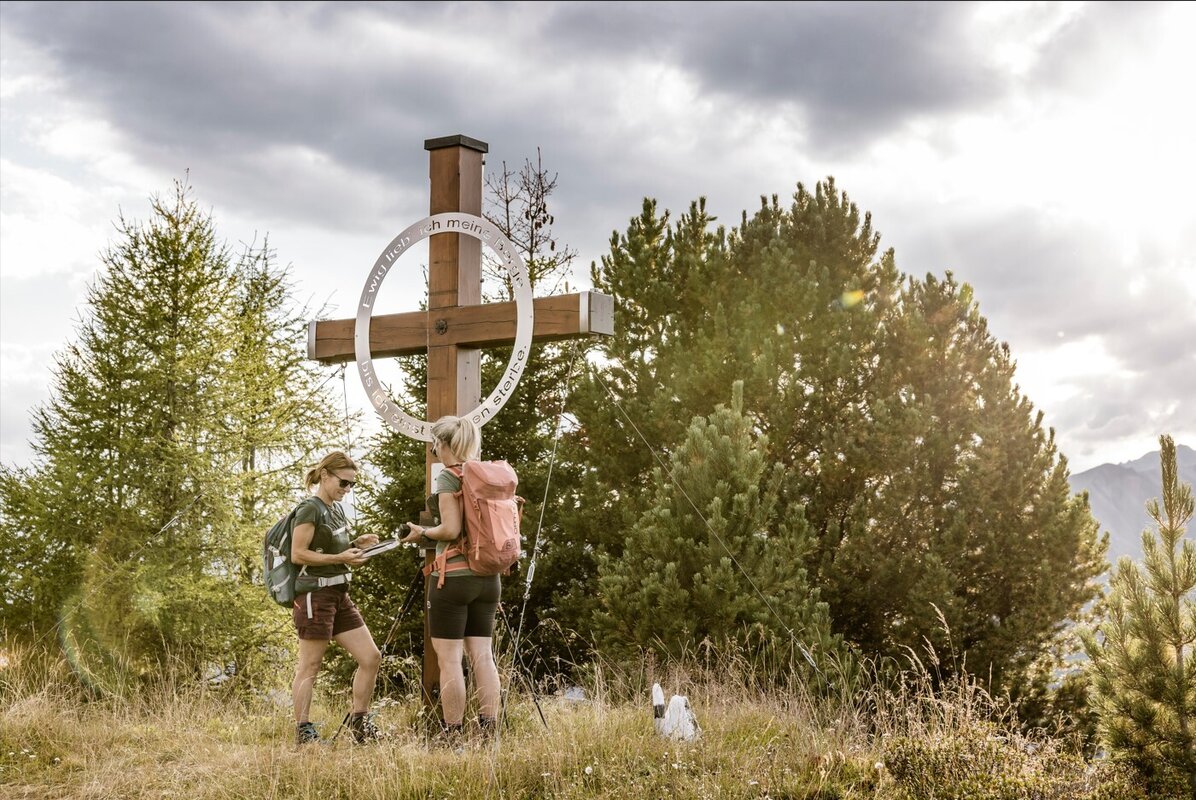
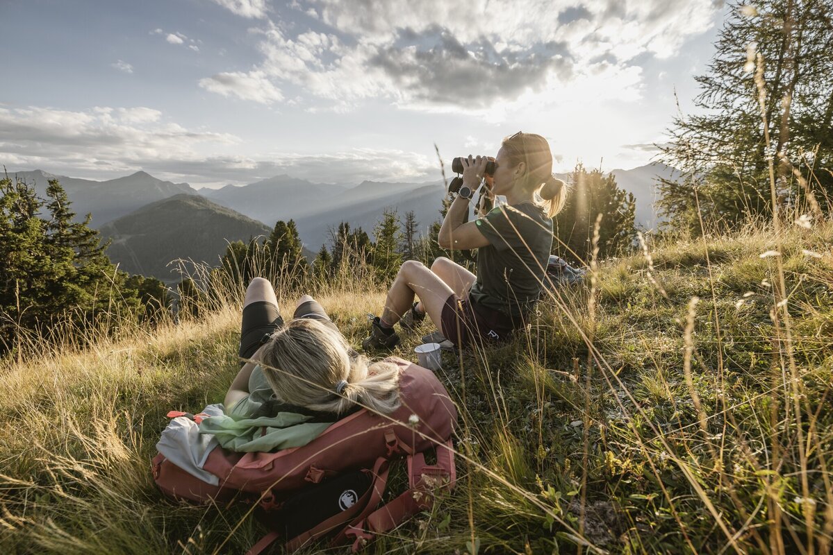
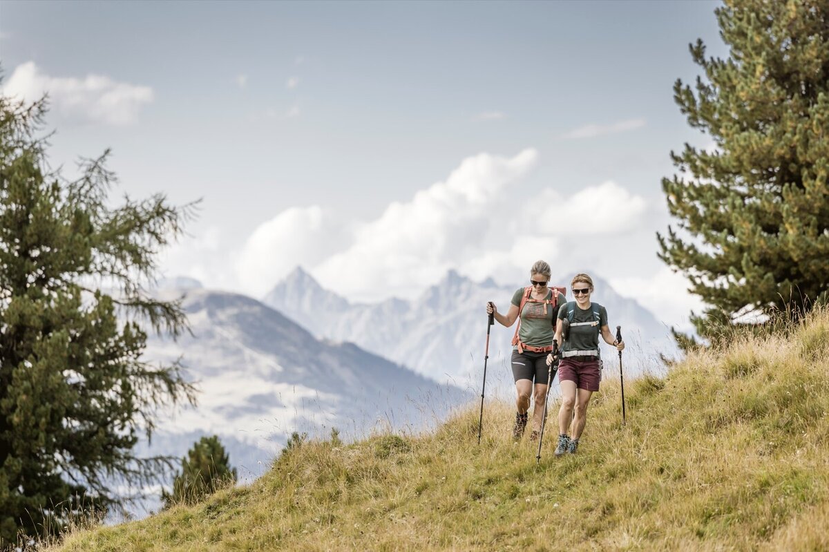
The start is in the district of Übersachsen, which can be easily reached by car. There are two car parks, one in front of Übersachsen at the old gravel hut and one at the Langhaus. It takes about 2 hours to walk from Übersachsen to the Matonkopf. The path is partly flat, partly uphill and continues to the Langhaus and across the ‘Fadele-Wiesen’ to the Langezberg shepherd's hut. At the hut, a somewhat steep path (marked with red dots on the stones) leads to the left to the Matonkopf. From there you have a very beautiful view!
tour1
4.1:1.8h
626m
6.5km
Highest point
2150m
Start point
Übersachsen | Tösens
End point
Übersachsen | Tösens

Similar Tours

Medium
565m | 4.5h | 6.3km
Hiking tour
Nörderberg
Begin: Ochsenalm
End: Nörderberg
Difficult
493m | 3h | 4.5km
Hiking tour
Rauhekopfhütte
Begin: Gepatschhaus
End: Rauhekopfhütte
Medium
1027m | 7h | 17km
Hiking tour
Edelweißsteig
Begin: Pfarrkirche St. Valentin
End: Pfarrkirche St. Valentin
Difficult
893m | 6.08h | 14.6km
Hiking tour
Zum Schartlkopf
Begin: Bergstation Bergkastel
End: Schartlkopf
Medium
741m | 7h | 16.5km
Hiking tour
Small Schafkopf
Begin: Bergstation Bergkastel
End: Nauders
Medium
949m | 6.42h | 11.18km
Hiking tour
Theierjoch | Perflkopf
Begin: Wand | Pfunds
End: Wand | Pfunds
Medium
581m | 4h | 5.11km
Hiking tour
Aifner Spitze
Begin: Aifner Alm | Kaunerberg
End: Aifner Alm | Kaunerberg
Difficult
1692m | 13.6km
Hiking tour
Über das Wallfahrtsjöchl vom Kaunertal ins Pitztal
Begin: Parkplatz Wallfahrtskirche Kaltenbrunn
End: Eggenstall (St. Leonhard-Pitztal)