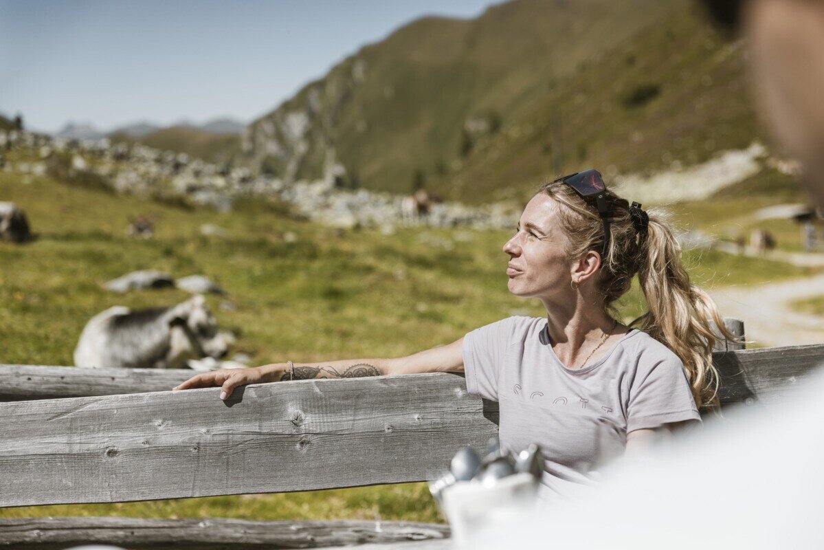
Hiking tour

Platzer Alm

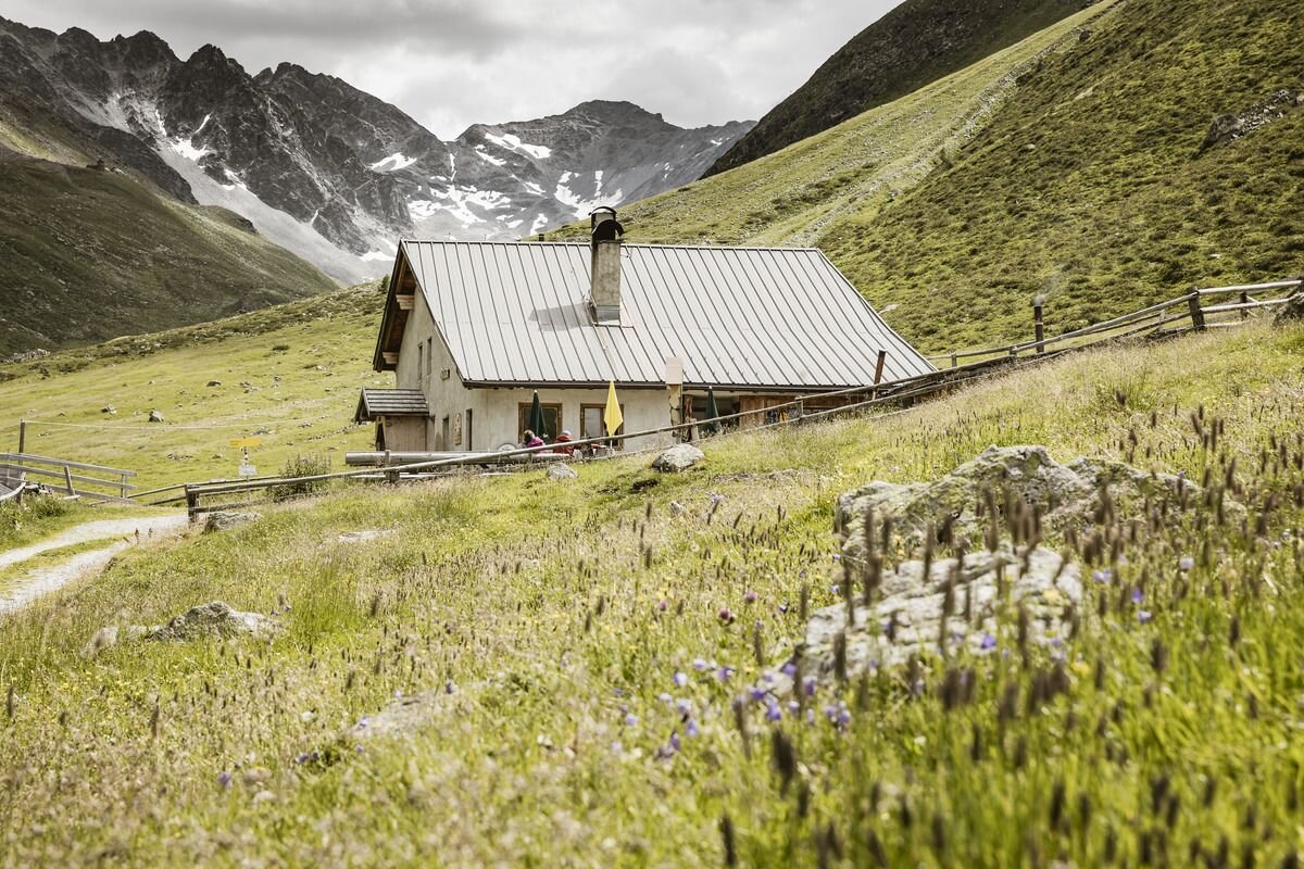
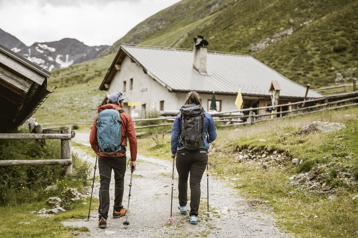
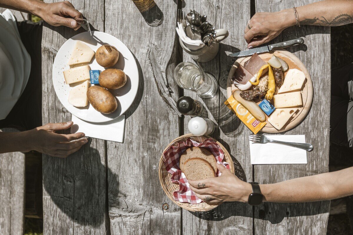
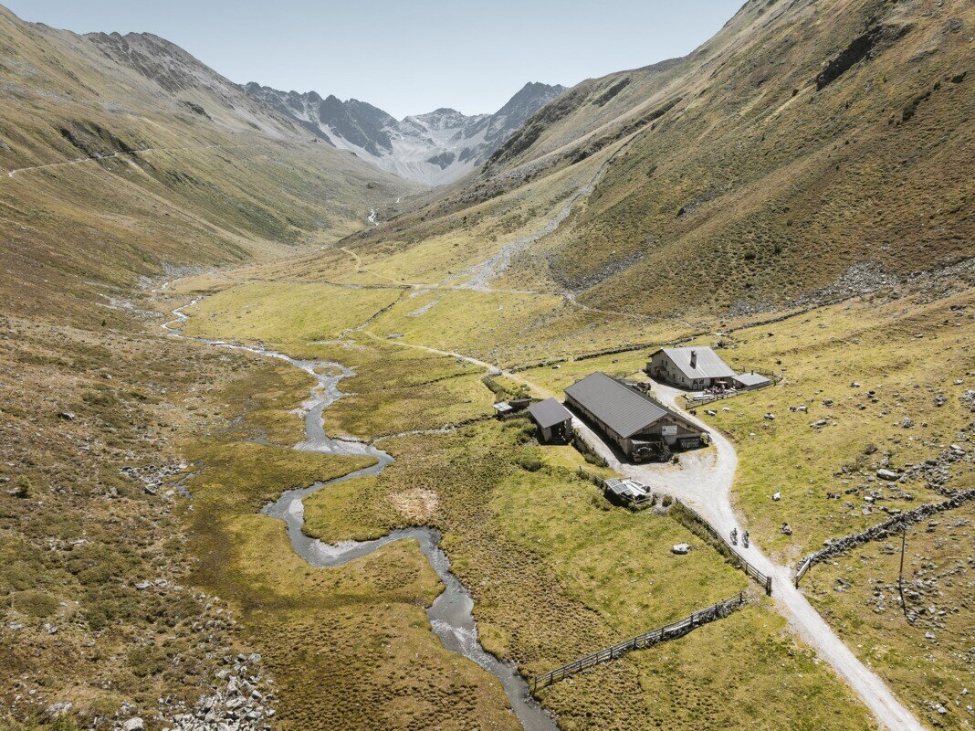
Drive from Pfunds to Greit up to the Tscheylücke. From there the path leads through the beautiful high valley past the Maria Schnee chapel to a fork in the road. Here the path branches off to the right towards Platzertal. Follow the signposting always towards Platzer Alm. Pass the dilapidated buildings of the ore and silver processing and continue to the alpine pasture. The Platzeralm is the highest altitude where milk, butter and cheese are processed.Way back is the same.

tour1
4.8:1.8h
579m
13.24km
Highest point
2182m
Start point
Parking area Tscheylücke | Pfunds
End point
Parking area Tscheylücke | Pfunds

Similar Tours

Medium
458m | 4.43h | 10.43km
Hiking tour
Anton Renk-Hütte | Rundwanderung
Begin: Parkplatz Seilbahn Talstation | Ried im Oberinntal
End: Parkplatz Seilbahn Talstation | Ried im Oberinntal
Easy
226m | 2.5h | 6.4km
Hiking tour
Über den kleinen Mutzkopf retour nach Nauders
Begin: Bergstation Mutzkopf
End: Talstation Mutzkopf
Medium
543m | 3.9h | 8.04km
Hiking tour
Frudiger
Begin: Parking area Tscheylücke | Pfunds
End: Parking area Tscheylücke | Pfunds
Medium
860m | 6.5h | 8.7km
Hiking tour
Ochsenkopf und Roter Schrofen
Begin: Bergstation Sattelklause
End: Bergstation Sattelklause
Medium
410m | 3.8h | 10.87km
Hiking tour
Anton Renk-Hut
Begin: Sattelklause
End: Anton-Renk-Hütte (2.260 m)
Medium
349m | 6.6km
Hiking tour
Schnadigen
Begin: Kaunerberg
End: Kaunerberg
Medium
733m | 5.93h | 15.93km
Hiking tour
Anton Renk-Hütte | Großer See
Begin: Parking area Seilbahn Talstation | Ried im Oberinntal
End: Parking area Seilbahn Talstation | Ried im Oberinntal
Medium
280m | 3h | 5km
Hiking tour
Krummgampental - Verborgener See (2.674 m)
Begin: Krummgampental
End: Verborgener See