




















Kleine Verpeilrunde


An idyllic family hike in a stunning setting, with excellent refreshments available at the Verpeilhütte.
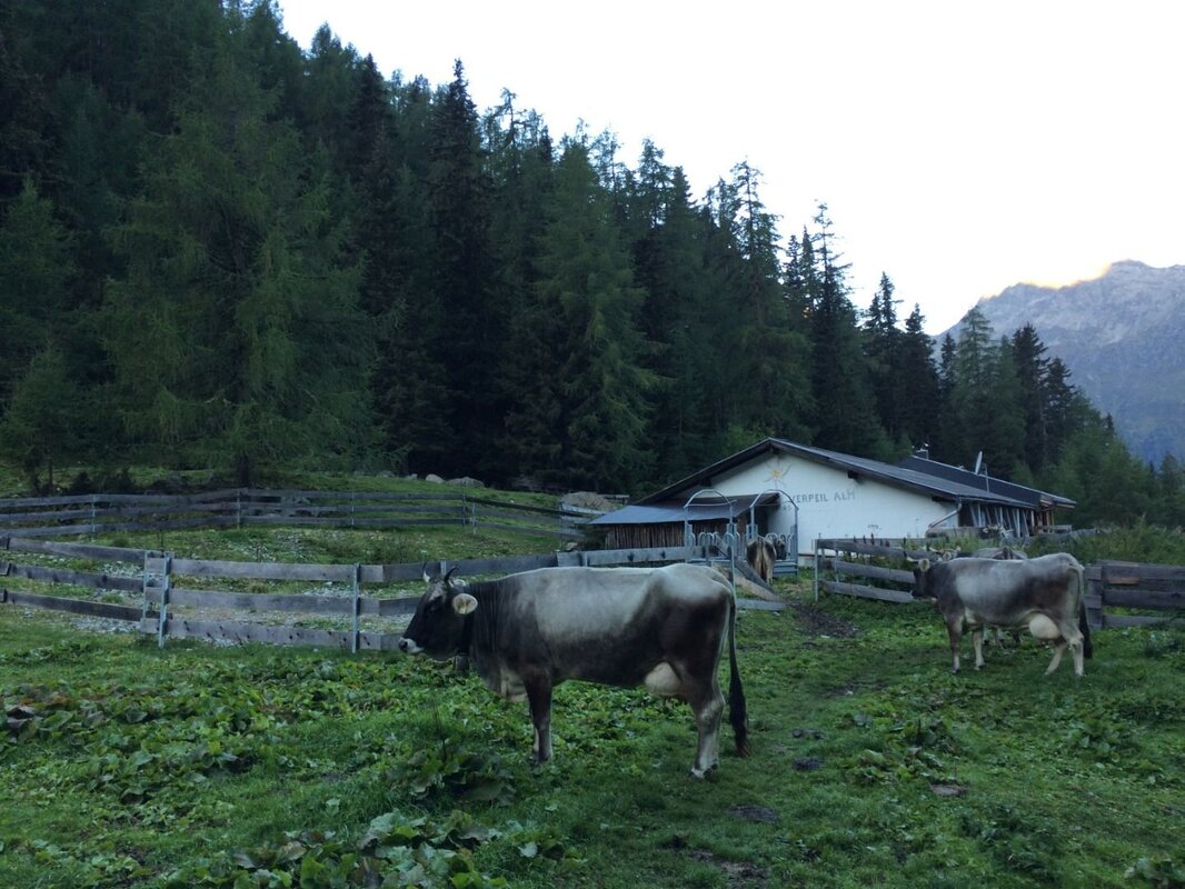
The Verpeiltal, a high valley situated east of Feichten, is an oasis for hiking and relaxation. The starting point for this walk is just below the Verpeilalm (1,802 m). You can reach the car park by car or on the TVB hiking bus via the gravel road from Feichten, in the Mühlbach district.
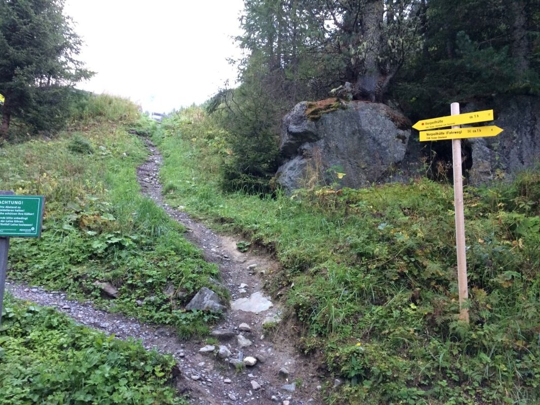
Once at the car park, follow the gravel road a few steps uphill until the signposted path to the Verpeilhütte branches off.
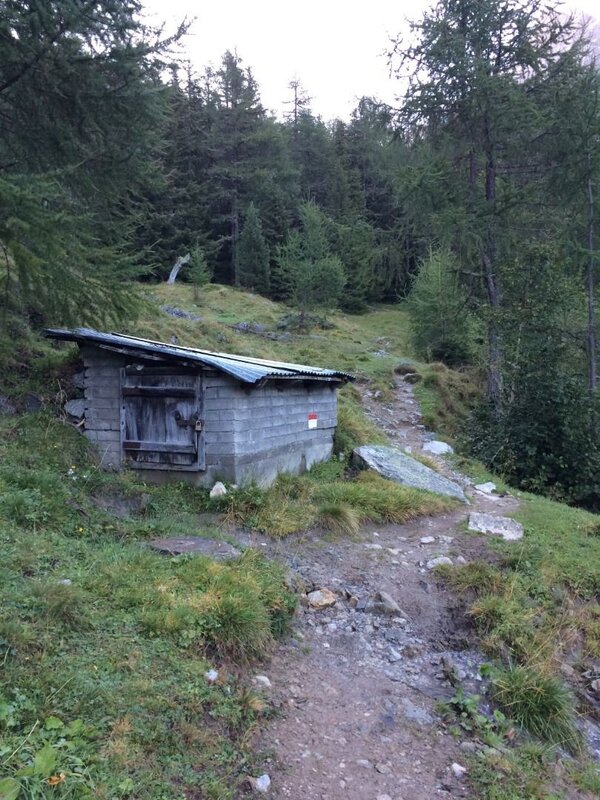
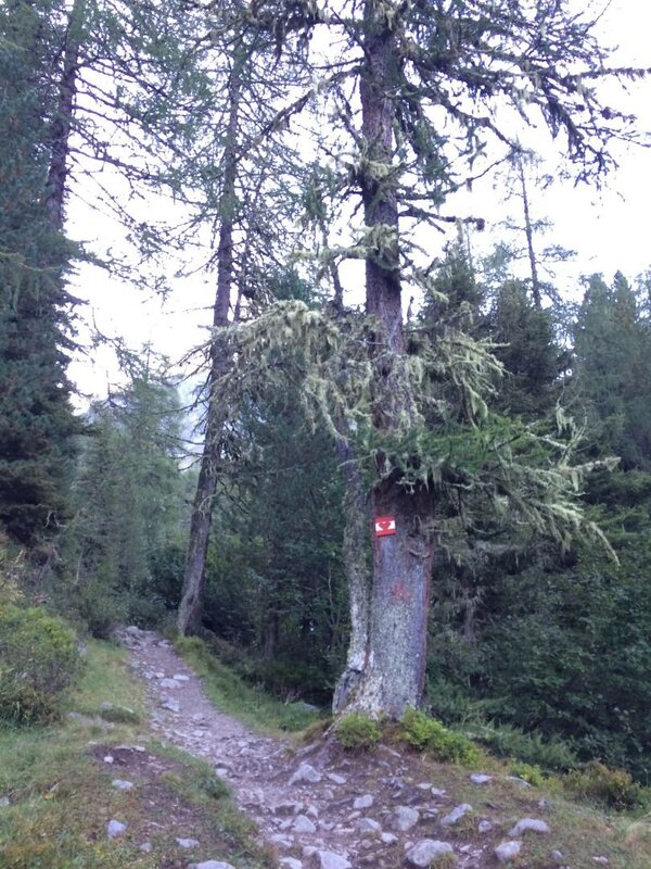
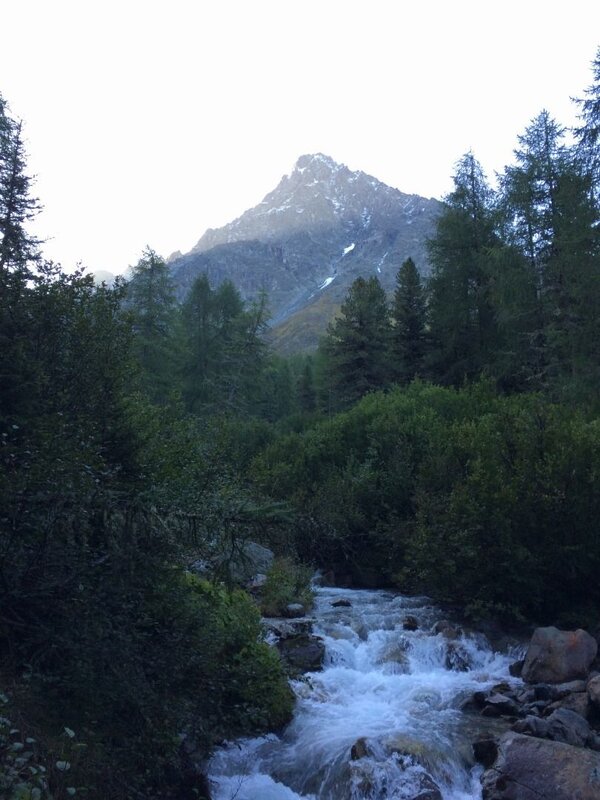
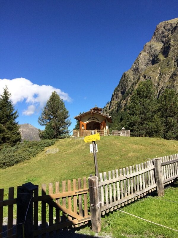
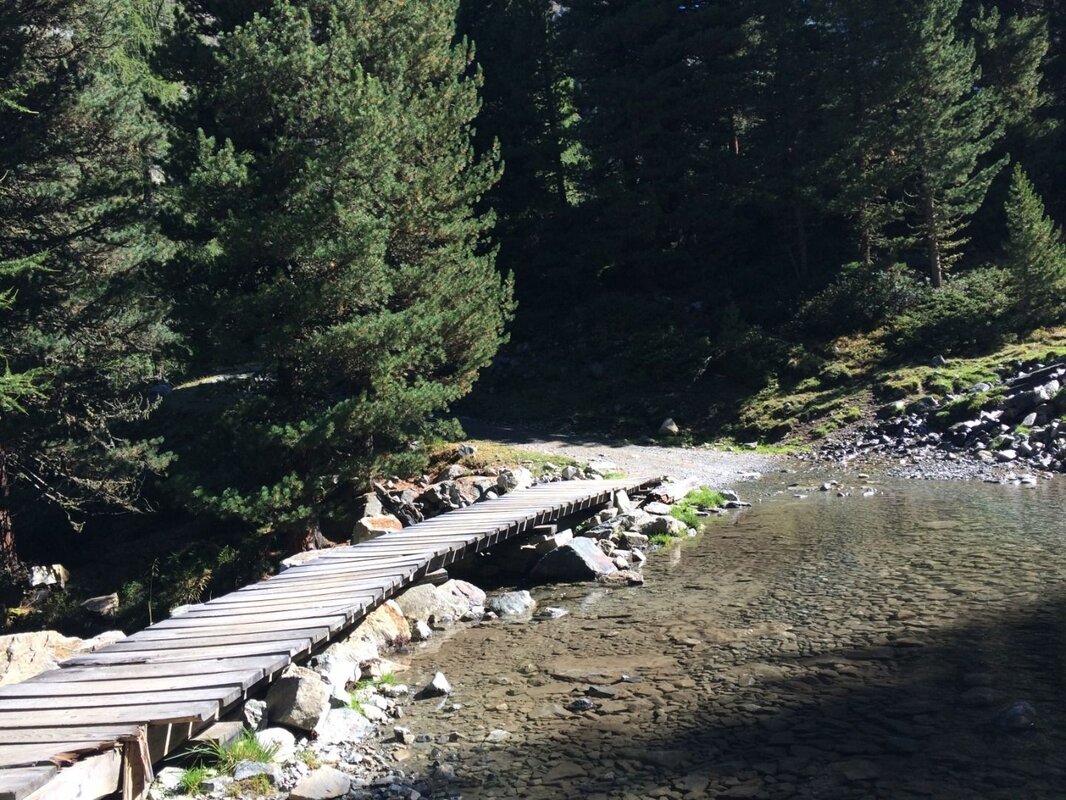
The path climbs briefly at the start, then runs flat to the left past the wayside shrine and branches off to the right immediately after the bridge. On the left bank, you now walk above the water intake and along the stream across a gently sloping pasture. Further on, you pass through a beautiful mountain forest of spruce, larch and Swiss stone pine, continuing deeper into the high valley. In between, a pyramid-shaped mountain to the south-east, the Schwabenkopf (3,379 m), stands out time and again.
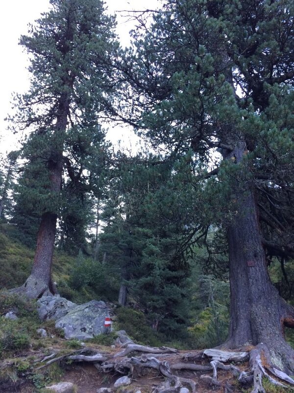
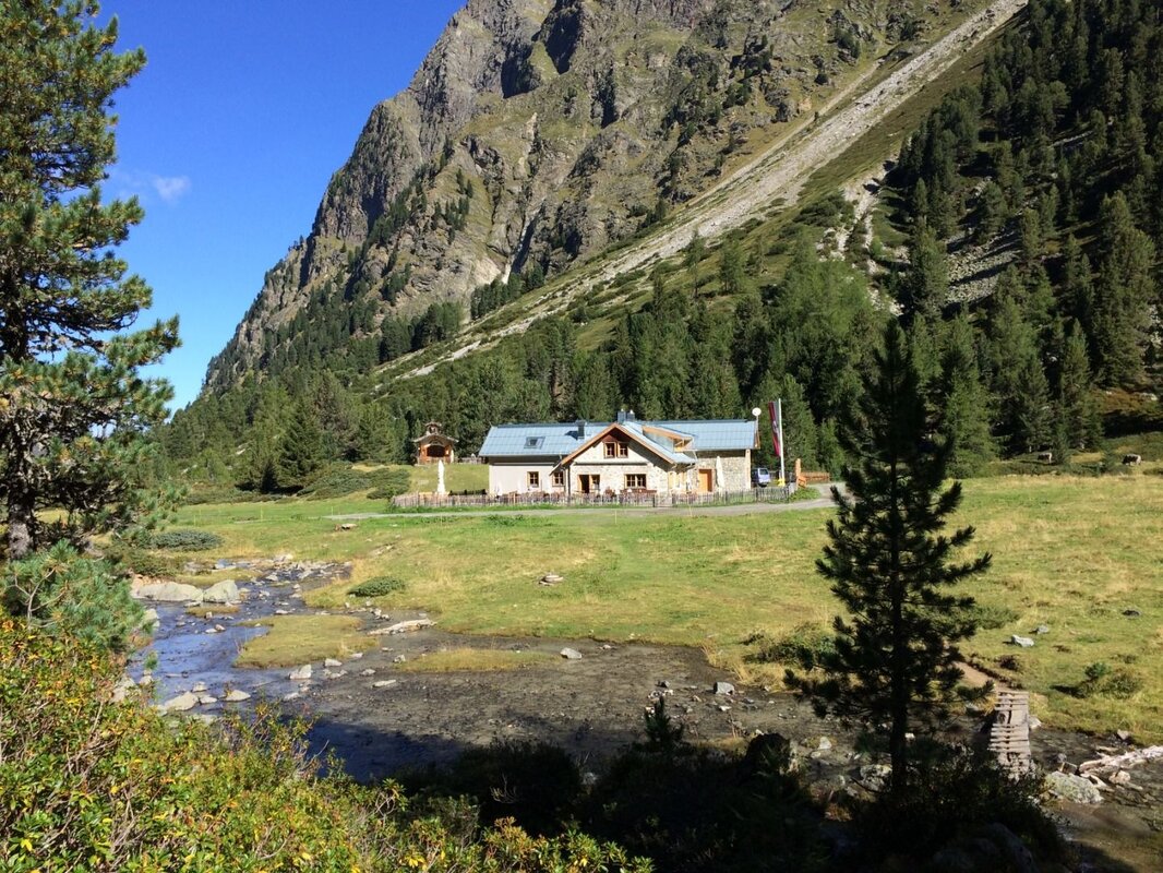
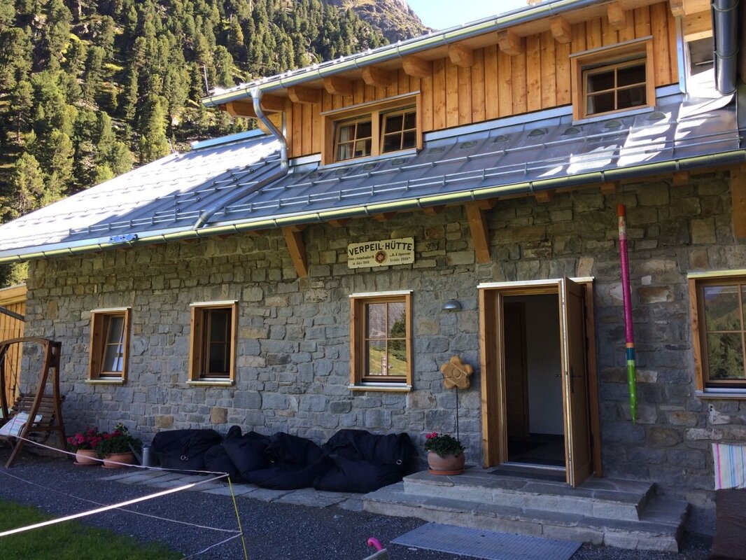
You cross the Verpeilbach once more and, after passing through a clearing in the forest with old Swiss stone pines, reach the Almboden, where the Verpeilhütte and its small chapel are situated. On hot days, you can cool off in a quiet side stream, which is also particularly interesting for children to play in and explore.
The renovated Verpeilhütte is open during the summer months. It is an ideal destination for this short walk, a stop-off on day trips, and a good starting point for longer mountain hikes in the surrounding area, as overnight accommodation is available here.
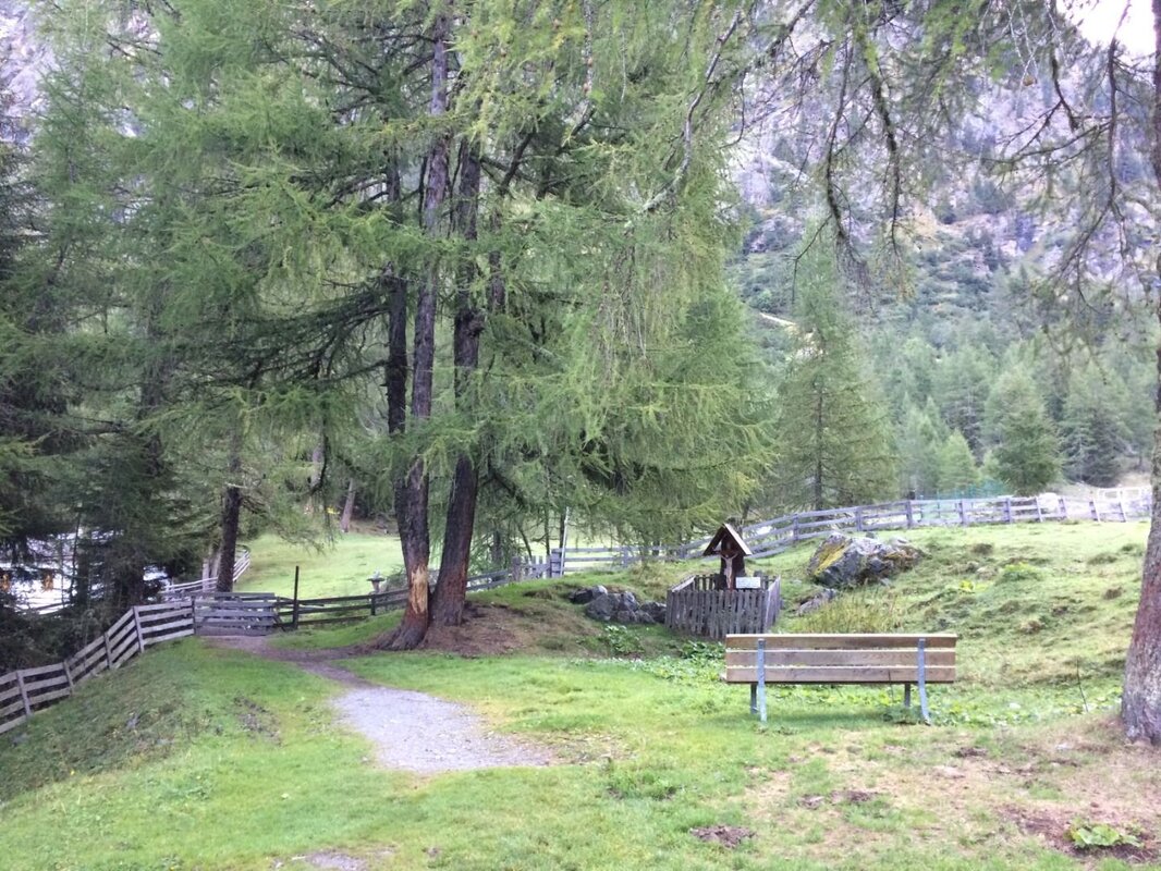
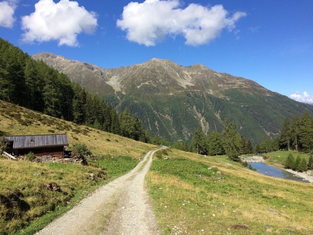
The return leg of this circular walk is a leisurely stroll along the gravel path on the other side of the stream down to the Verpeilalm. About halfway along the route, a lovely bench invites you to take a break. You walk out of the valley with your gaze fixed on the opposite mountain ridge, where the Mittagskopf and Roter Schrofen can be seen. Before long, you’ll have reached the starting point again, below the alpine pasture.


