Hiking tour

Platzer Alm

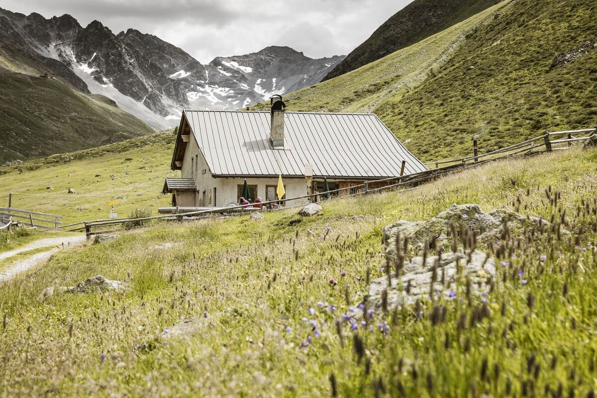
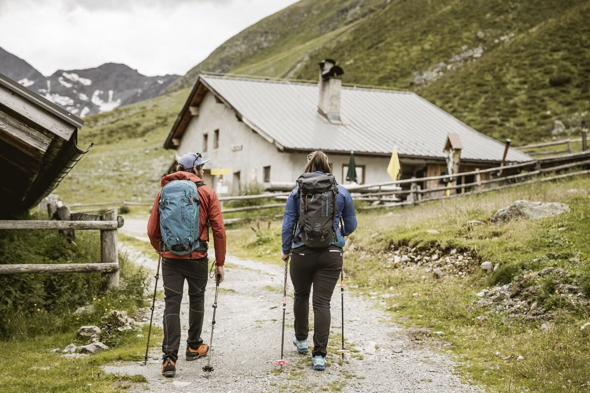
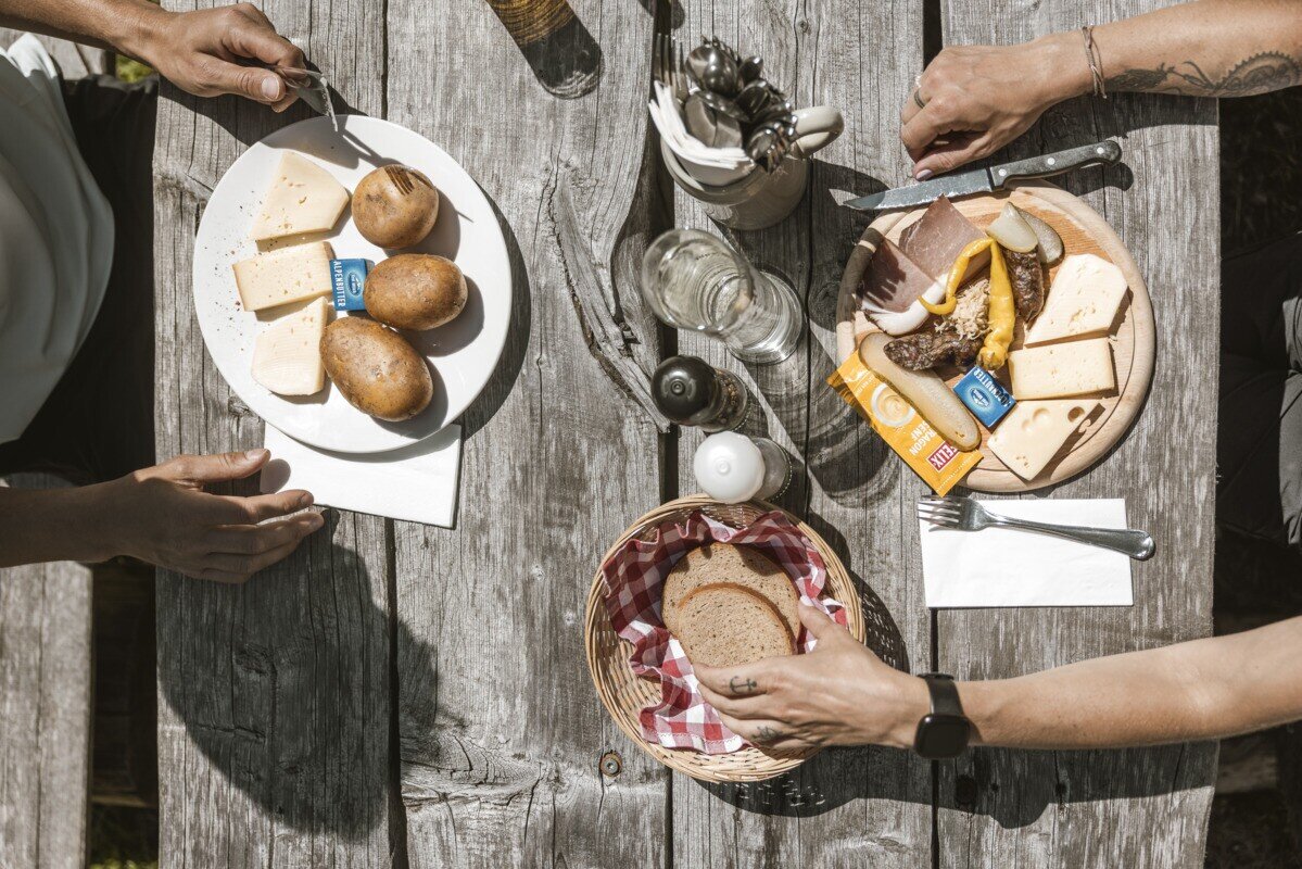
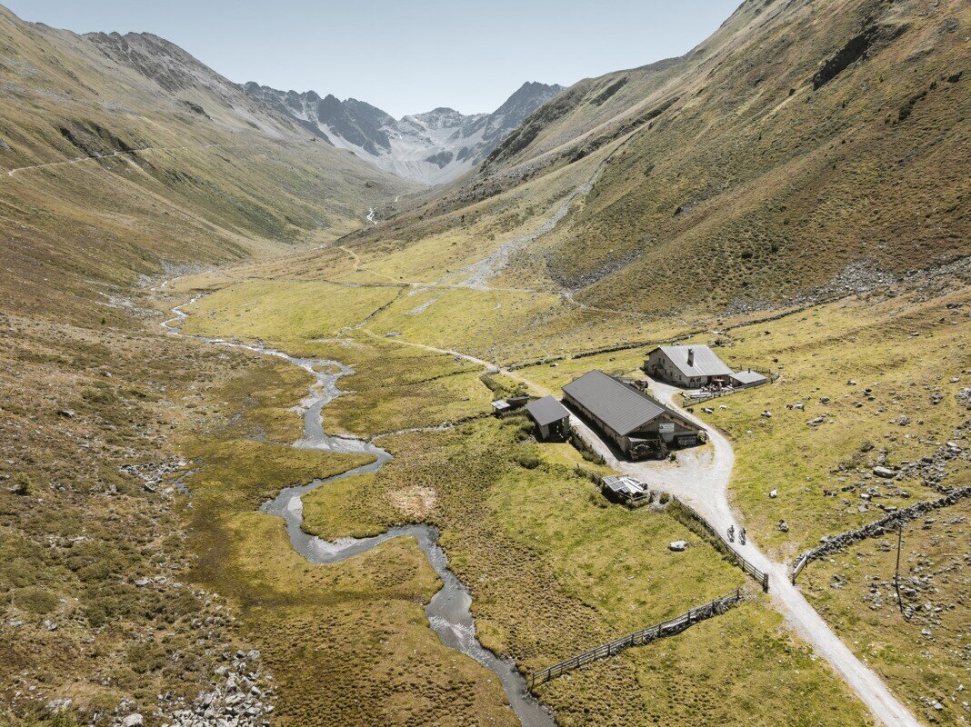
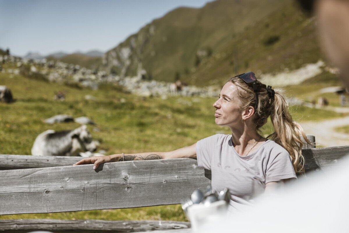
Drive from Pfunds to Greit up to the Tscheylücke. From there the path leads through the beautiful high valley past the Maria Schnee chapel to a fork in the road. Here the path branches off to the right towards Platzertal. Follow the signposting always towards Platzer Alm. Pass the dilapidated buildings of the ore and silver processing and continue to the alpine pasture. The Platzeralm is the highest altitude where milk, butter and cheese are processed.Way back is the same.

tour1
4.8:1.8h
579m
13.24km
Highest point
2182m
Start point
Parking area Tscheylücke | Pfunds
End point
Parking area Tscheylücke | Pfunds

Similar Tours

Medium
800m | 6h
Hiking tour
Ebene und Ferminzkopf
Begin: Nauders
End: Nauders
Medium
753m | 6.5h | 12.4km
Hiking tour
Höhenweg Dreiländergrenzstein
End: Gasthof Martha
Difficult
792m | 3.6km
Medium
386m | 3h
Hiking tour
Verpeilschlucht
Begin: Quellalpin
Medium
1319m | 8.67h | 13.25km
Hiking tour
Schmalzkopf
Begin: Parkplatz Wildmoos | Pfunds
End: Parkplatz Wildmoos | Pfunds
Difficult
1142m | 7.58h | 11.97km
Hiking tour
Glockturm
Begin: Hohenzollernhaus | Pfunds
End: Hohenzollernhaus | Pfunds
Medium
202m | 1.5h | 3620km
Hiking tour
Sternenweg im Gepatsch
Begin: Stauwurzel Gepatschstausee
End: Gepatschhaus
Difficult
356m | 3h | 5.4km
Hiking tour
Kaunergrathütte - Verpeilhptte
Begin: Verpeil- oder Kaunergrathütte
End: Kaunergrat- oder Verpeilhütte