




















Gallruthalm - Stollenwanderung
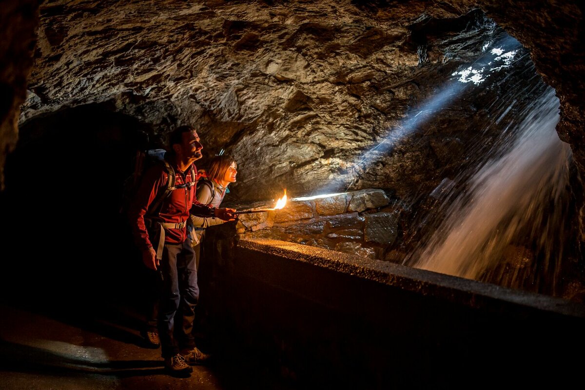
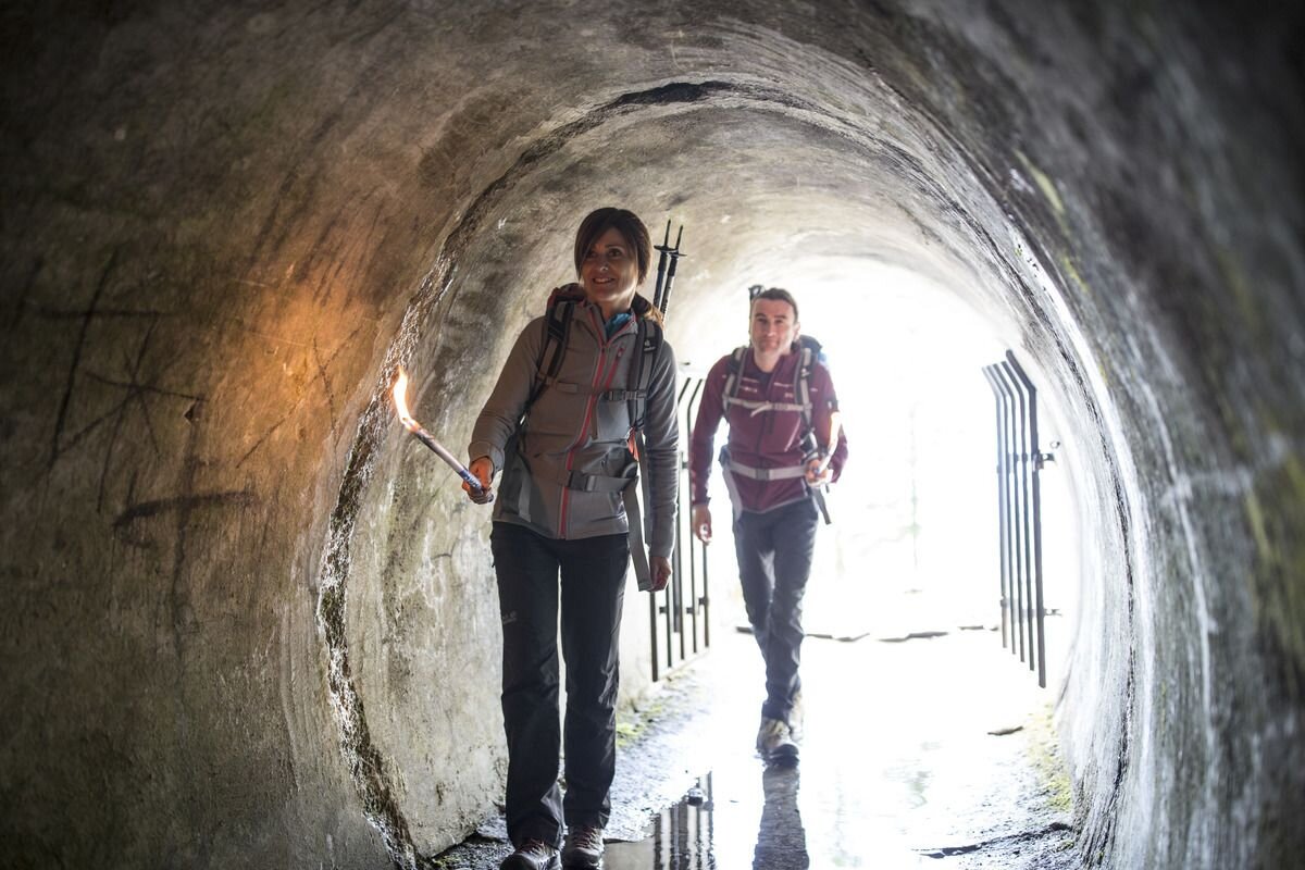
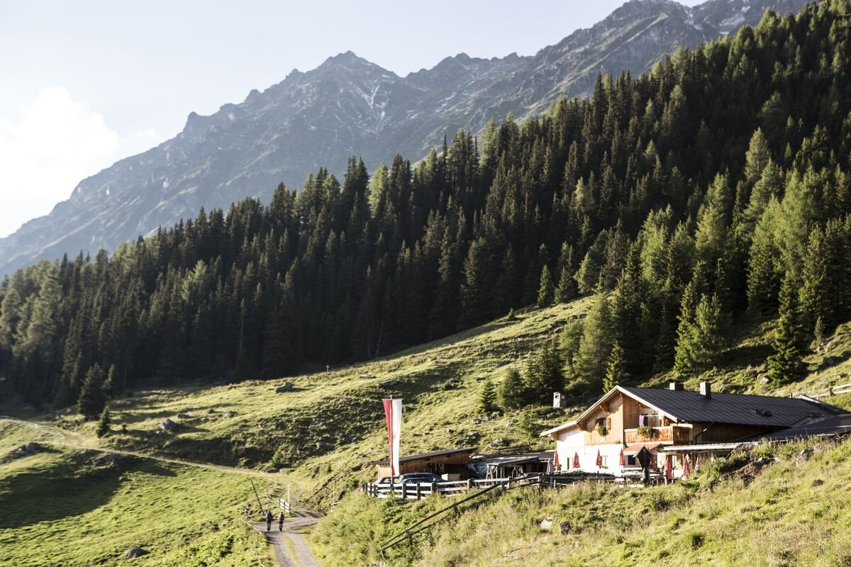


Via the hamlet of Nufels (in the Kaunertal valley), you reach the forest track leading towards the Falkaunsalm. From the small car park next to the forest track, follow it uphill for a short while to the Hahntennen (1,870 m), where the path branches off towards the Gallruth Alm. It's a pleasant walk through a magnificent mountain forest to the tunnel entrance. The 996-metre-long tunnel is a real highlight! (Don't forget your torch(es)!)
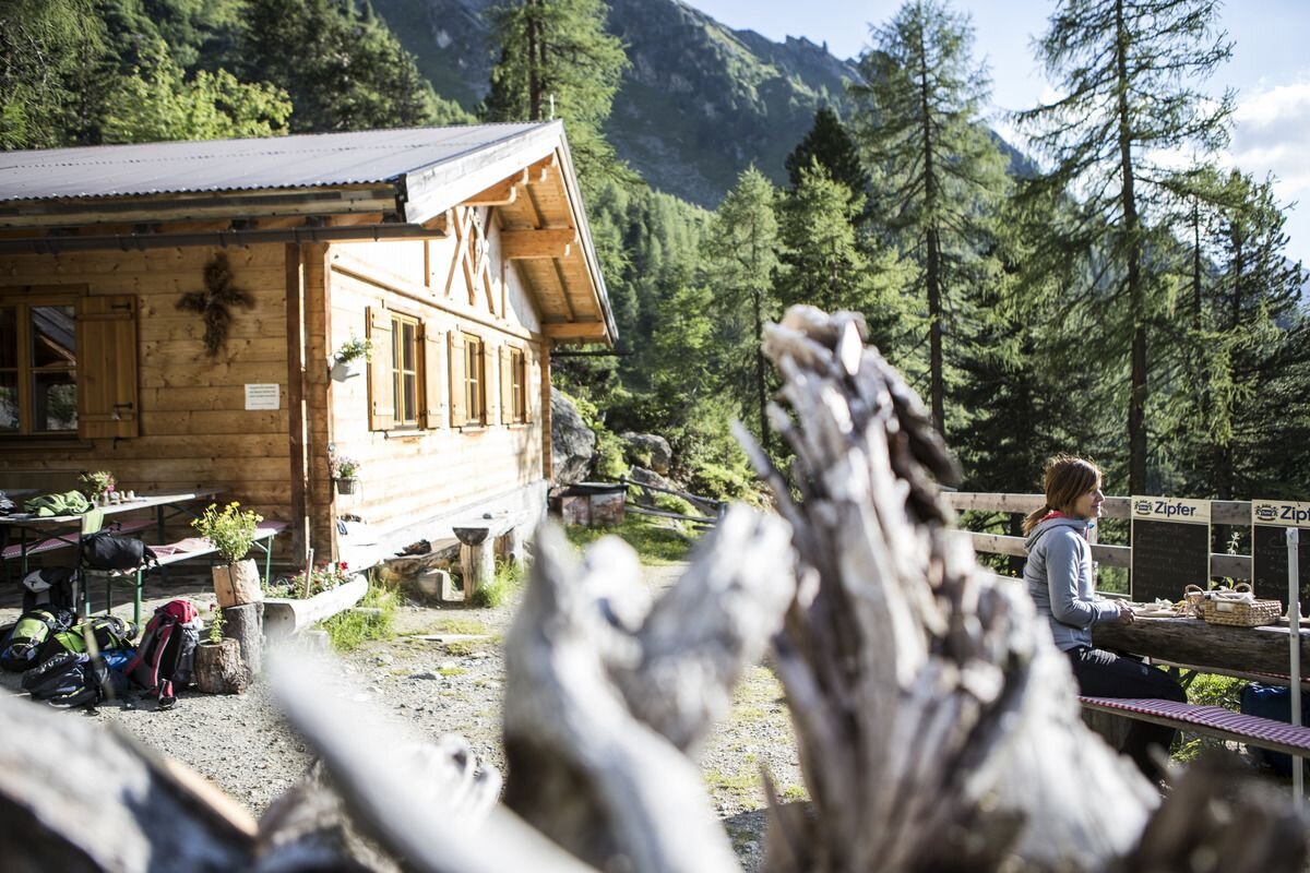
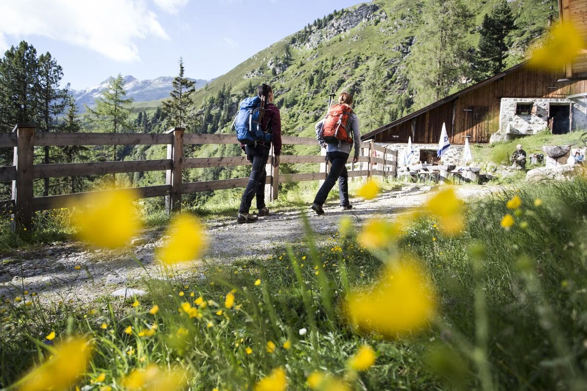
In the first section of the tunnel, you'll need to duck your head a little; later on it becomes a bit more spacious, but it's only further on that light shines through a tunnel window – take note, this isn't an exit! Soon after, you'll emerge into the open air. You'll hike uphill through the larch meadows; it's now not far to the wildly romantic Gallruth Alm.
Warning!! There is no alternative hiking trail alongside the tunnel!! The direct trail to the Gallruth Alm begins further down the path to the Wiesenhof (junction at the 4th hairpin bend).
From the Gallruth Alm, follow the high-altitude trail on to the Falkauns Alm. You'll walk amongst alpine roses and across extensive alpine pastures. At a wide, secured section of the path, climb a short way uphill and then continue through the magnificent forest edge to the beautifully situated alpine hut. Now follow the forest track downhill and, after about 20 minutes, you’ll reach the car park below the Falkauns Alm.


