Hiking tour

Theierjoch | Perflkopf

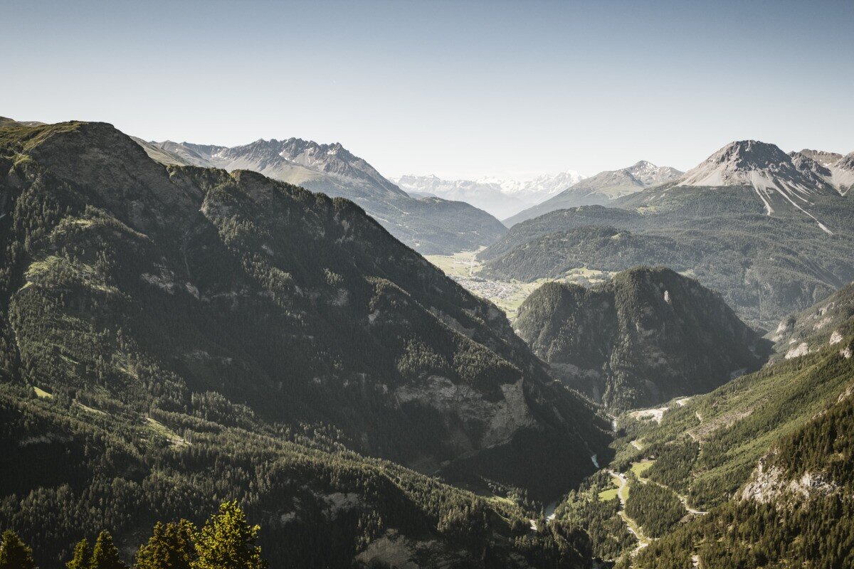
The hike starts at Wand. From there, the route first follows forest road no. 22 uphill for a short distance. After a while, forest path no. 23 branches off and leads through the woods up to Perflkopf. From Perflkopf you can enjoy a wonderful view of the surrounding landscape. The marked trail continues from here towards the summit. The final section up to the summit cross at Theierjoch becomes steeper again, but rewards hikers with a magnificent view into the Radurschltal with Glockturm and the surrounding mountain scenery. The return follows the same route back.
tour1
6.4:1.1h
949m
11.18km
Highest point
2328m
Start point
Wand | Pfunds
End point
Wand | Pfunds

Similar Tours

Medium
565m | 4.5h | 6.3km
Hiking tour
Nörderberg
Begin: Ochsenalm
End: Nörderberg
Difficult
493m | 3h | 4.5km
Hiking tour
Rauhekopfhütte
Begin: Gepatschhaus
End: Rauhekopfhütte
Medium
626m | 4.13h | 6.5km
Hiking tour
Matonkopf
Begin: Übersachsen | Tösens
End: Übersachsen | Tösens
Difficult
893m | 6.08h | 14.6km
Hiking tour
Zum Schartlkopf
Begin: Bergstation Bergkastel
End: Schartlkopf
Difficult
700m | 4km
Hiking tour
Ganderbildspitze, 2.863 m
Begin: Bergstation Bergkastel
Medium
1319m | 8.67h | 13.25km
Hiking tour
Schmalzkopf
Begin: Parkplatz Wildmoos | Pfunds
End: Parkplatz Wildmoos | Pfunds
Easy
438m | 2.67h | 5km
Hiking tour
Farmhike Stables - Novelles
End: Nauders
Difficult
1692m | 13.6km
Hiking tour
Über das Wallfahrtsjöchl vom Kaunertal ins Pitztal
Begin: Parkplatz Wallfahrtskirche Kaltenbrunn
End: Eggenstall (St. Leonhard-Pitztal)