




















Hiking tour
Panoramaweg Aifner Alm - Falkauns Alm


Opening status | Open
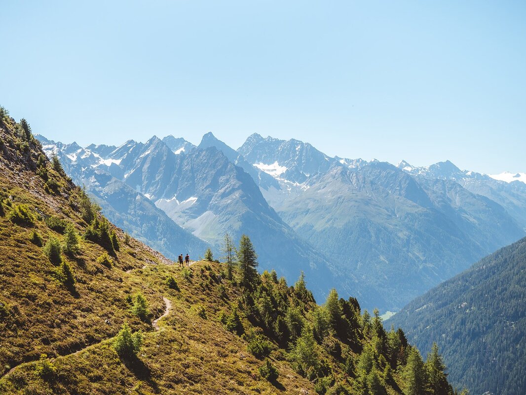
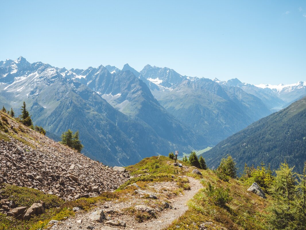
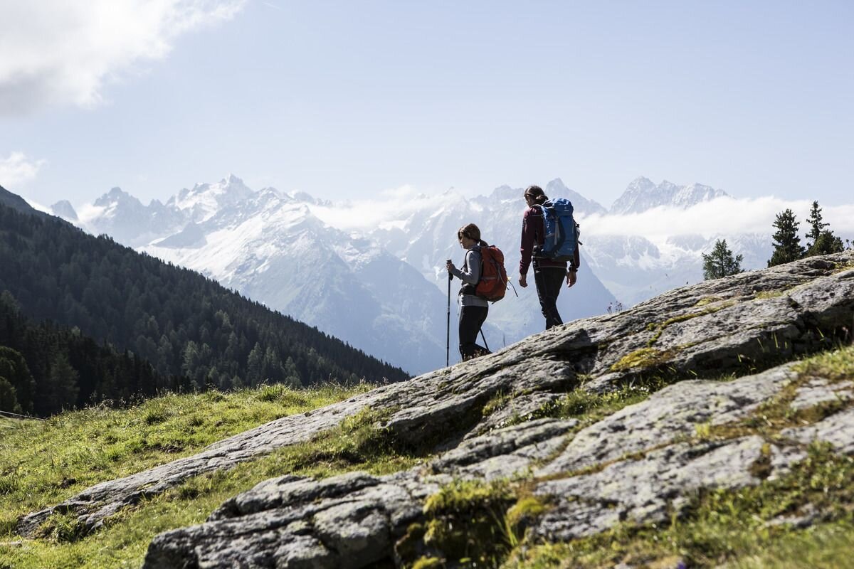
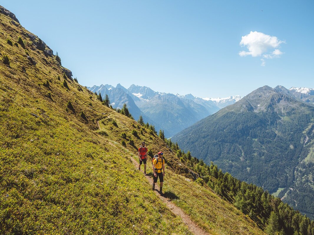
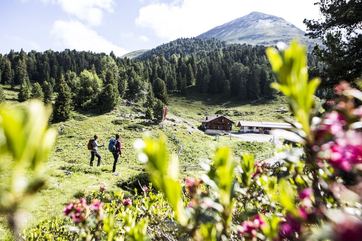
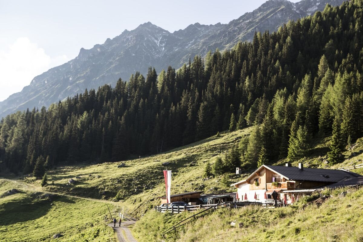
The panoramic trail begins at the pasture area of the Aifneralm, then leads through a beautiful mountain forest and crosses the species-rich avalanche tracks below the Aifner peaks. After about an hour, you reach the ascent at the ‘Wetterkreuzbichl’, where you come across an old larch tree characterised by harsh weather and lightning strikes. Here you have to overcome a few metres in altitude, whereby the consistently good path now leads through more rugged terrain. At an altitude of 2,220 metres, you reach the Schlafbödele. With impressive views of the Kaunertal and the Gepatschferner to the south, you now hike downhill. At a beautifully situated bench with a shrine, you are already halfway down the trail. Past alpine roses, cranberries and a small, tapped spring, the path continues into the sparse larch forest above the Falkaunsalm. Shortly afterwards, you reach the mountain
tour1
2.6:4.1h
300m
6.2km
Highest point
2220m
Start point
Aifneralm oder Falkaunsalm
End point
Falkaunsalm oder Aifneralm


