




















Hiking tour
Wanderung zum Ulrichskopf
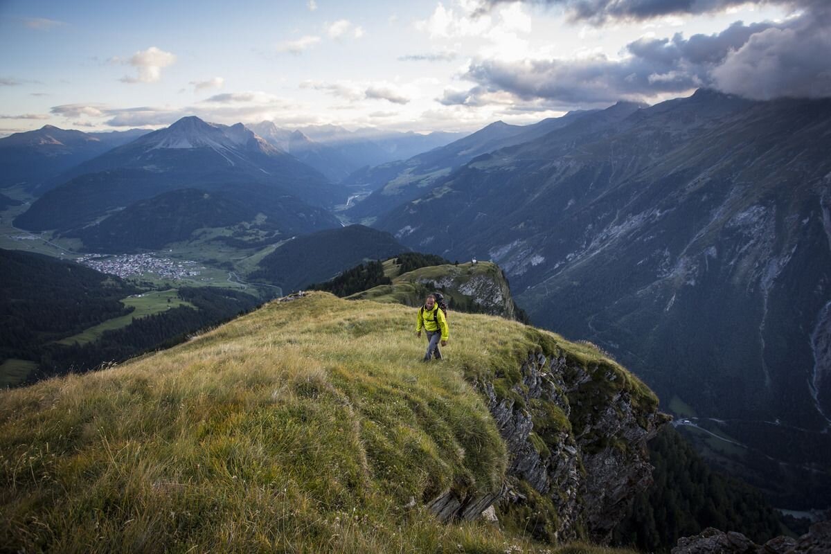
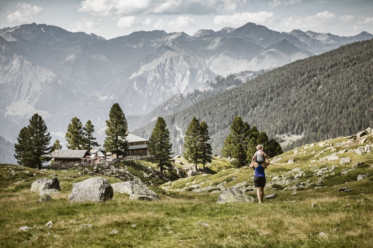


With the hiking taxi you first travel from Nauders to Labaunalm. On this impressive hike you
circle the Nauders local mountain, the Schmalzkopf. Starting from the mountain pasture, Trail no. 14 leads past blooming alpine roses (June/July) to the Labaun Hochleger (no. 15). Alternatively, you can get there via a forest path. After about 200 metres above the Hochleger, the route goes north via a newly built path (no. 45). This leads past the Rosskopf and up to the summit of the Ulrichskopf (2,457 m). The way back is first a short distance back over the ridge and then on Hiking trail no. 27 via Sadres to Trail no. 26 on the Saderer Joch. From there via Trail no. 14 to Labaunalm. After a leisurely stop, you return to the village via the Parditschhof.
circle the Nauders local mountain, the Schmalzkopf. Starting from the mountain pasture, Trail no. 14 leads past blooming alpine roses (June/July) to the Labaun Hochleger (no. 15). Alternatively, you can get there via a forest path. After about 200 metres above the Hochleger, the route goes north via a newly built path (no. 45). This leads past the Rosskopf and up to the summit of the Ulrichskopf (2,457 m). The way back is first a short distance back over the ridge and then on Hiking trail no. 27 via Sadres to Trail no. 26 on the Saderer Joch. From there via Trail no. 14 to Labaunalm. After a leisurely stop, you return to the village via the Parditschhof.
tour1
7:0h
1063m
10km
Start point
Labaunalm
End point
Nauders


