Hiking tour

Schmalzkopf

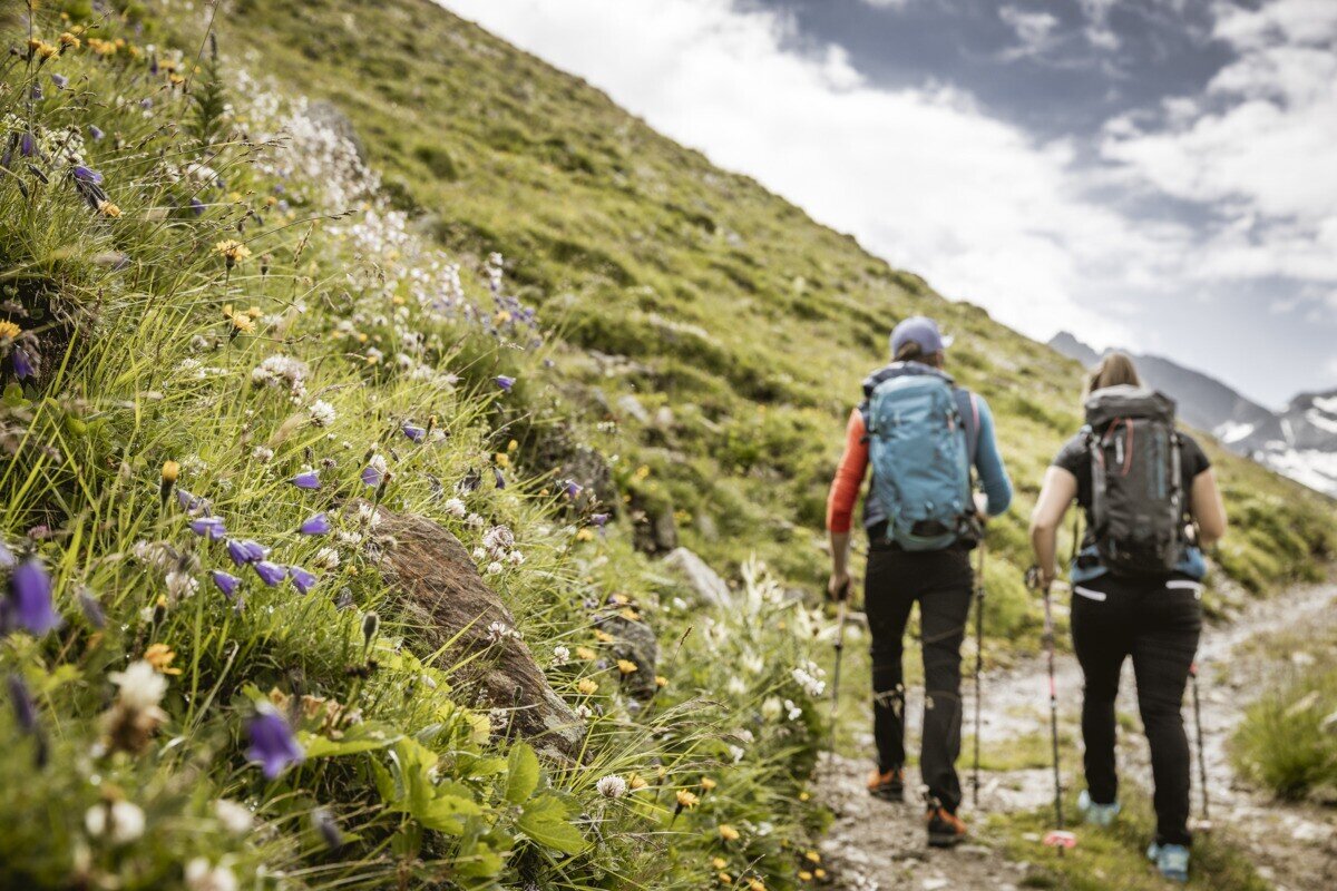
The hike starts in the Radurschl Valley. From here, the trail turns right into the forest and follows trail marker No. 26. Shortly afterwards, the path branches off to the right and passes the drinking water spring of Pfunds. Continue following the marked trail to the Lukaskreuz and then further along route No. 26 up to the Schmalzkopf. The return follows the same route back to the starting point.
tour1
8.6:4.2h
1319m
13.25km
Highest point
2717m
Start point
Parkplatz Wildmoos | Pfunds
End point
Parkplatz Wildmoos | Pfunds

Similar Tours

Medium
800m | 6h
Hiking tour
Ebene und Ferminzkopf
Begin: Nauders
End: Nauders
Medium
410m | 3.8h | 10.87km
Hiking tour
Anton-Renk-Hut
Begin: Sattelklause
End: Anton-Renk-Hütte (2.260 m)
Easy
862m | 8.3km
Hiking tour
Hinauf zum Panoramarestaurant Bergkastel
Begin: Talstation Bergkastel
End: Panoramarestaurant Bergkastel
Medium
386m | 3h
Hiking tour
Verpeilschlucht
Begin: Quellalpin
Medium
385m | 3h | 6.56km
Hiking tour
Rauher Kopf
Begin: Kobler Alm | Pfunds
End: Kobler Alm | Pfunds
Difficult
1142m | 7.58h | 11.97km
Hiking tour
Glockturm
Begin: Hohenzollernhaus | Pfunds
End: Hohenzollernhaus | Pfunds
Medium
202m | 1.5h | 3620km
Hiking tour
Sternenweg im Gepatsch
Begin: Stauwurzel Gepatschstausee
End: Gepatschhaus
Difficult
356m | 3h | 5.4km
Hiking tour
Kaunergrathütte - Verpeilhptte
Begin: Verpeil- oder Kaunergrathütte
End: Kaunergrat- oder Verpeilhütte