Hiking tour

Bergwerk Platzertal

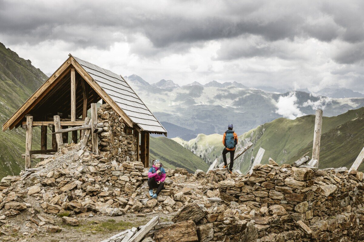
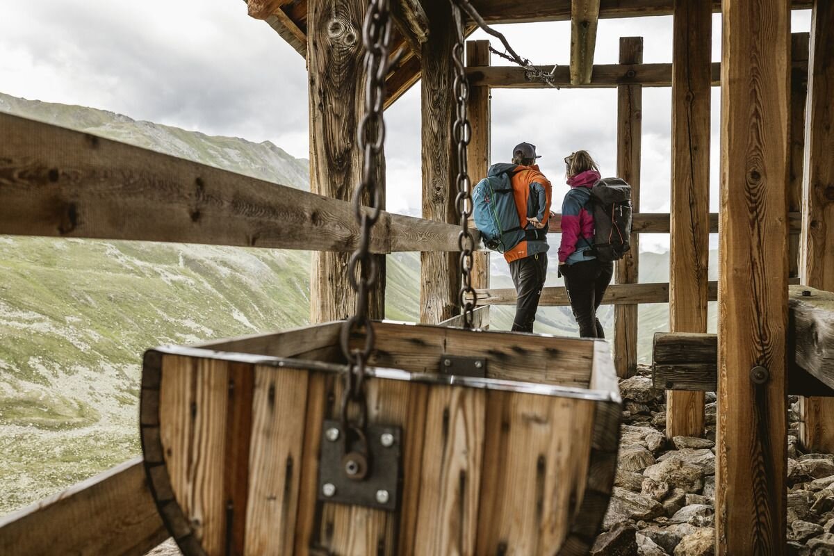
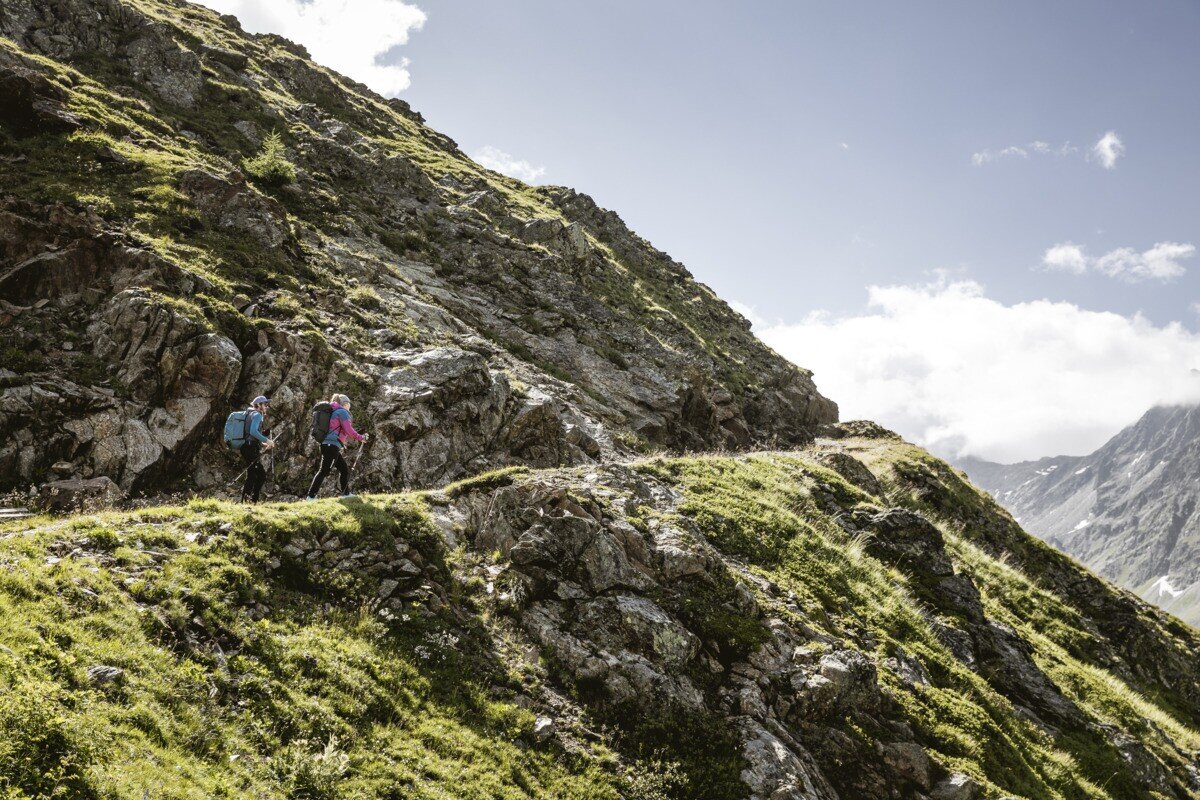
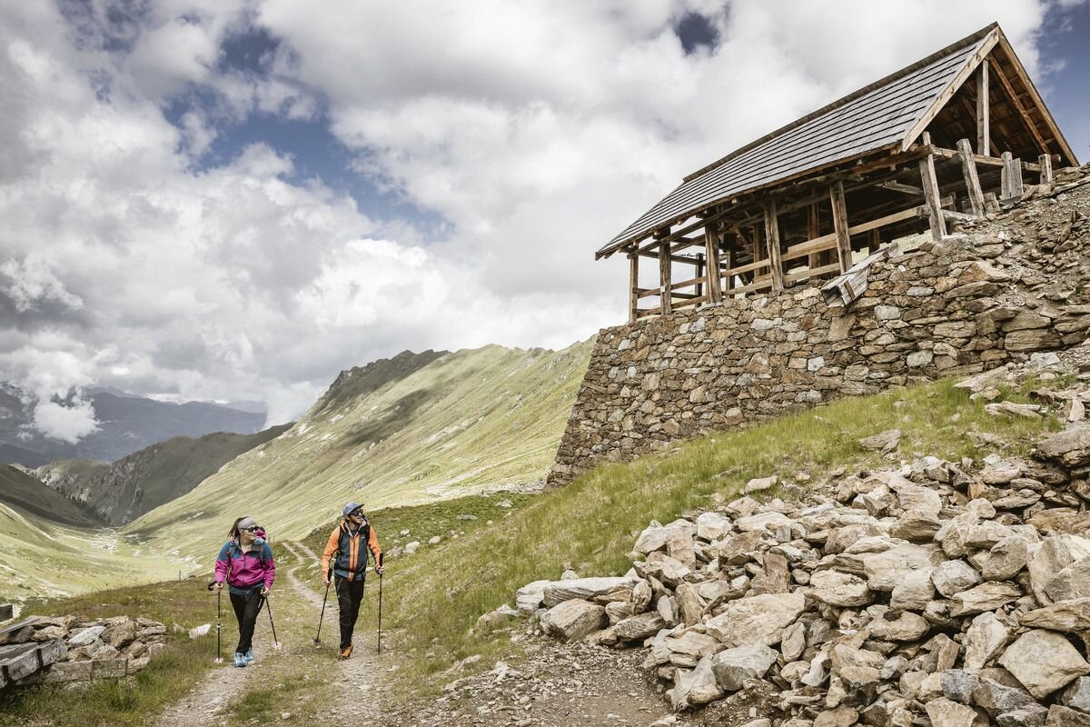
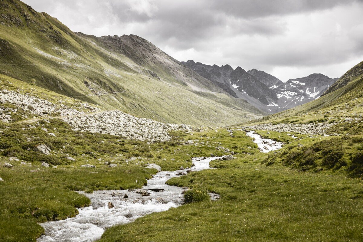
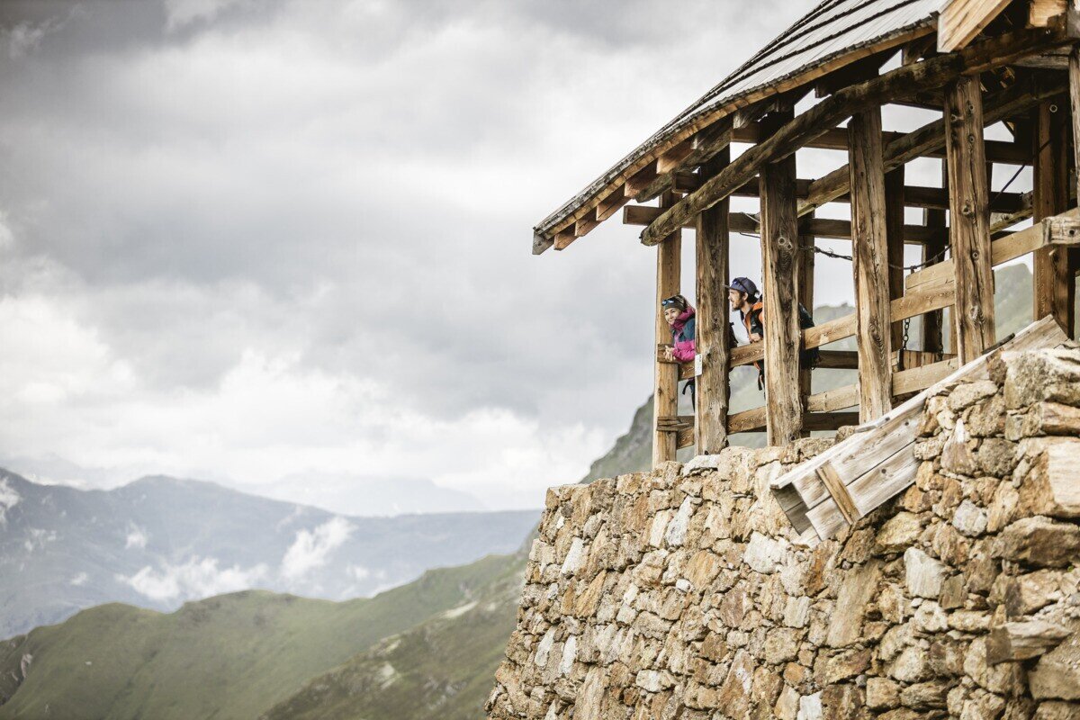
Drive from Pfunds to Greit up to the Tscheylücke. From there the path leads through the beautiful high valley past the Maria Schnee chapel to a fork in the road. Here the path branches off to the right towards Platzertal. Follow the signposting always towards Platzer Alm. Pass the dilapidated buildings of the ore and silver processing and continue to the alpine pasture. Passing the alpine pasture you continue to the probably highest mine of the Alps. Here, lead, zinc, silver and copper were mined at an altitude of almost 3,000 m. 

tour1
7:0h
896m
17.83km
Highest point
2497m
Start point
Parking area Tscheylücke | Pfunds
End point
Parking area Tscheylücke | Pfunds

Similar Tours

Medium
540m | 5h | 9.6km
Hiking tour
Fendels - Sattelklause über Burgschroffen
Begin: Parkplatz Bergbahn Fendels
End: Parkplatz Bergbahn Fendels
Medium
741m | 7h | 16.5km
Hiking tour
Small Schafkopf
Begin: Bergstation Bergkastel
End: Nauders
Easy
356m | 3h | 6.7km
Hiking tour
Plamortweg
Begin: Bergkastel Bergstation
End: Bergkastel Bergstaion
Medium
1091m | 7.42h | 12.87km
Hiking tour
Kreuzjoch | Hahntennen
Begin: Parkplatz Kobler Alm | Pfunds
End: Parkplatz Kobler Alm | Pfunds
Difficult
1422m | 10.3km
Hiking tour
Brandenburgerhaus über Wannet
Begin: Fernergries / Gepatsch
End: Brandenburgerhaus
Easy
310m | 2.75h | 5.4km
Hiking tour
Oberer Lärchenwiesenweg
Begin: Parkplatz Bergbahn Fendels
End: Parkplatz Bergbahn Fendels
Medium
860m | 6.5h | 8.7km
Hiking tour
Ochsenkopf und Roter Schrofen
Begin: Bergstation Sattelklause
End: Bergstation Sattelklause
Medium
815m | 5.25h | 7.24km
Hiking tour
Hohe Aifnerspitze
Begin: Aifneralm | Kaunerberg
End: Aifneralm | Kaunerberg