Hiking tour

Staföller Alm

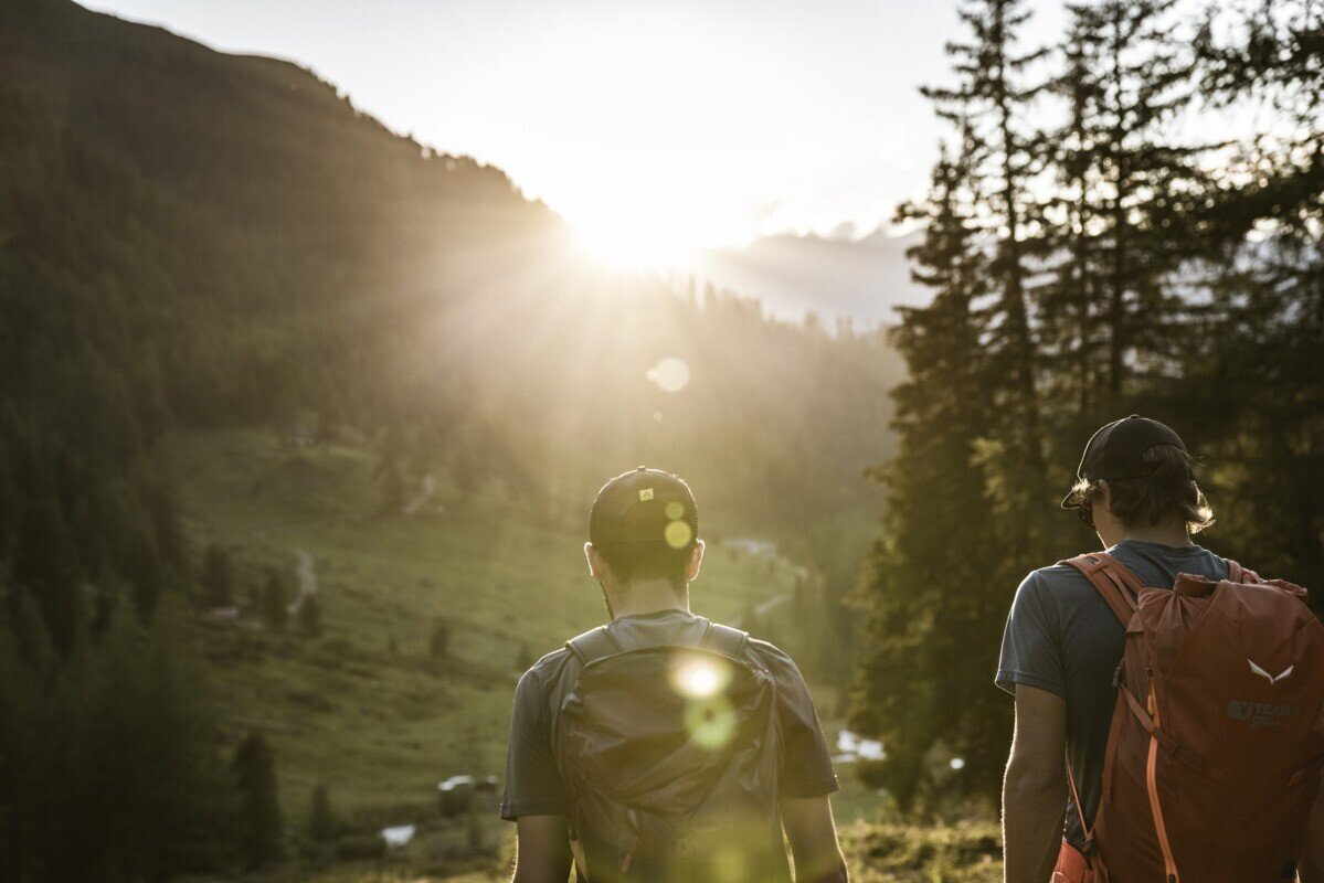
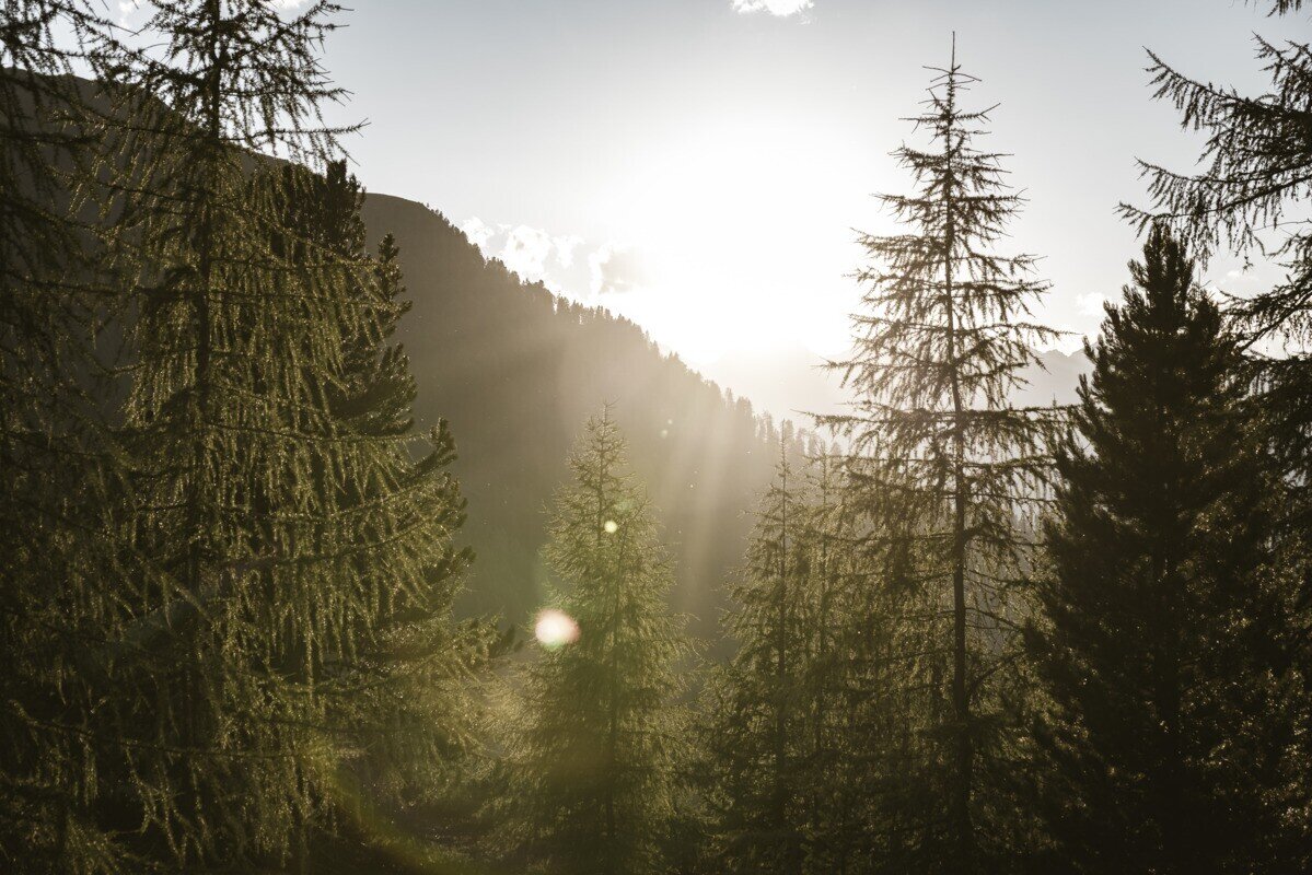
The hike starts at the tourist office in Ried. At the southern edge of the village, a paved road branches off to the left and leads gently uphill across the Langwiese, passing lush fields and meadows as well as a single farm. After crossing the Christiner Bach, the route continues along a paved road to the hamlet of Freitzberg. From there, a forest road leads steadily uphill through shaded woodland to the Stafföler Alm, which is not serviced and is located at the tree line. At the top, you are rewarded with beautiful views of the Upper Inn Valley and the Serfaus-Fiss-Ladis plateau.

tour1
8.5:0h
1113m
19.92km
Highest point
1988m
Start point
Infobüro TVB | Ried im Oberinntal
End point
Infobüro TVB | Ried im Oberinntal

Similar Tours

Medium
790m | 6.1km
Hiking tour
Bazahler Köpfe
Begin: Pfarrkirche St. Valentin
End: Bazahler Köpfe
Medium
418m | 3.5h | 6.7km
Hiking tour
Weißseejoch 2.960 m
Begin: Kaunertaler Gletscherstraße 2.520 m Seehöhe oberhalb Weißsee
Medium
1319m | 8.67h | 13.25km
Hiking tour
Schmalzkopf
Begin: Parkplatz Wildmoos | Pfunds
End: Parkplatz Wildmoos | Pfunds
Difficult
1302m | 9h | 18.5km
Hiking tour
Aachner Höhenweg
Begin: Anton Renk Hütte
End: Gepatschhaus
Difficult
1142m | 7.58h | 11.97km
Hiking tour
Glockturm
Begin: Hohenzollernhaus | Pfunds
End: Hohenzollernhaus | Pfunds
Medium
438m | 3h | 8.9km
Hiking tour
Rescher Alm
Begin: Bergstation Mutzkopf
End: Reschner Alm
Difficult
609m | 4h | 5.8km
Hiking tour
Zaunhof - Kaunerberg
Begin: Zaunhof
End: Kaunerberg
Easy
280m | 2h | 4km
Hiking tour
Rundwanderung Lärchenwiese
Begin: Seilbahn Fendels
End: Seilbahn Fendels