




















Gepatschhaus - Nassereinalm - Seepanorama
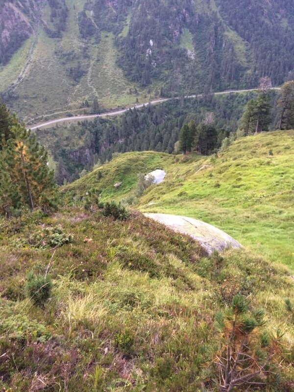
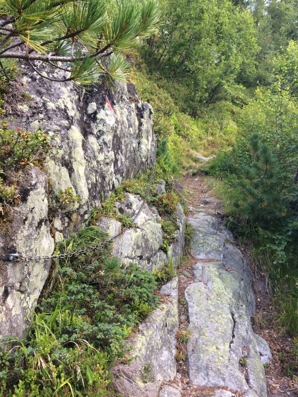
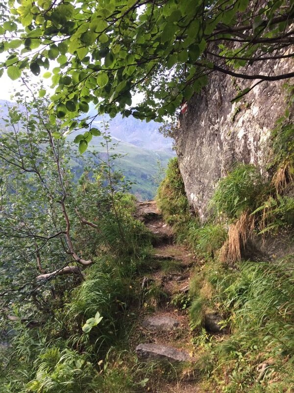
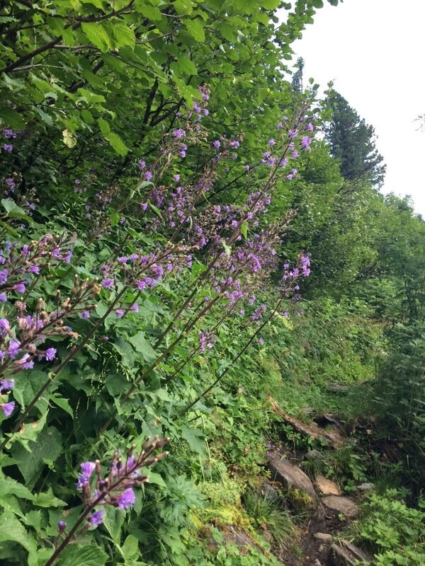
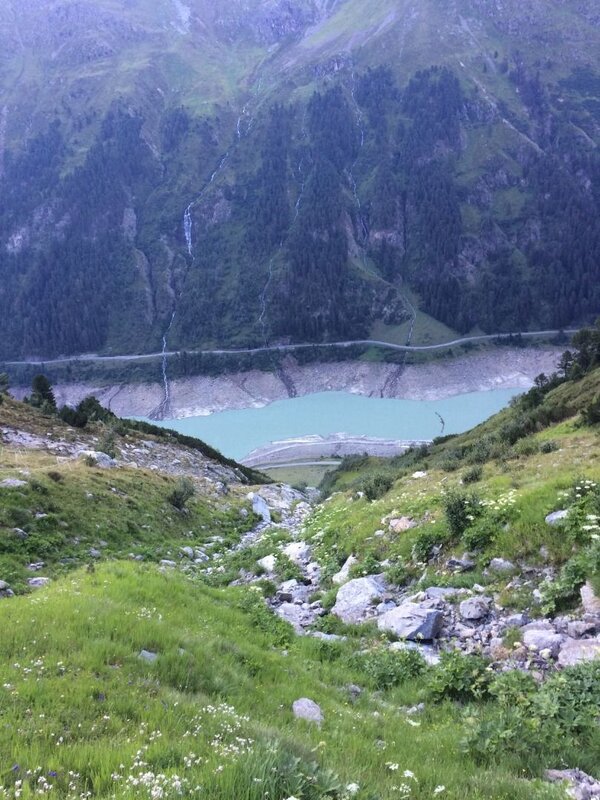
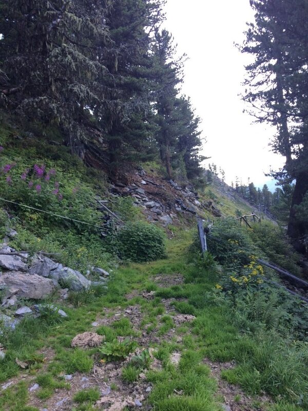
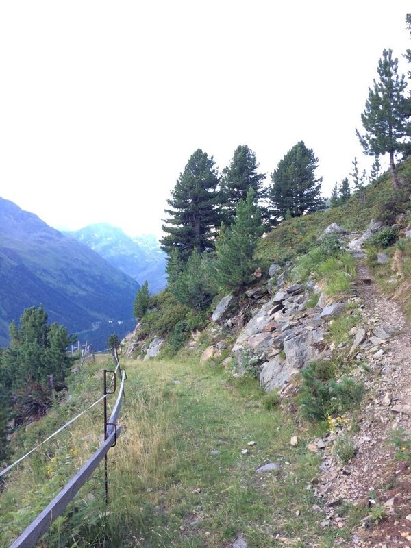
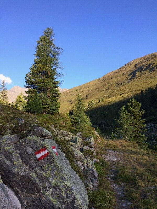


A rewarding high-altitude walk above the reservoir, along a section of the Aachener Höhenweg!
A word on planning: for this particular hike, it is worth thinking about the return journey first. Check the bus timetable for current departure times from the Staudamm stop to the Gepatschhaus, then plan your drive to the Staudamm starting point around those times. The best place to park is at the last entrance on the right before the dam crest. From there, hop on the Postbus to the true starting point of the hike - the Gepatschhaus.
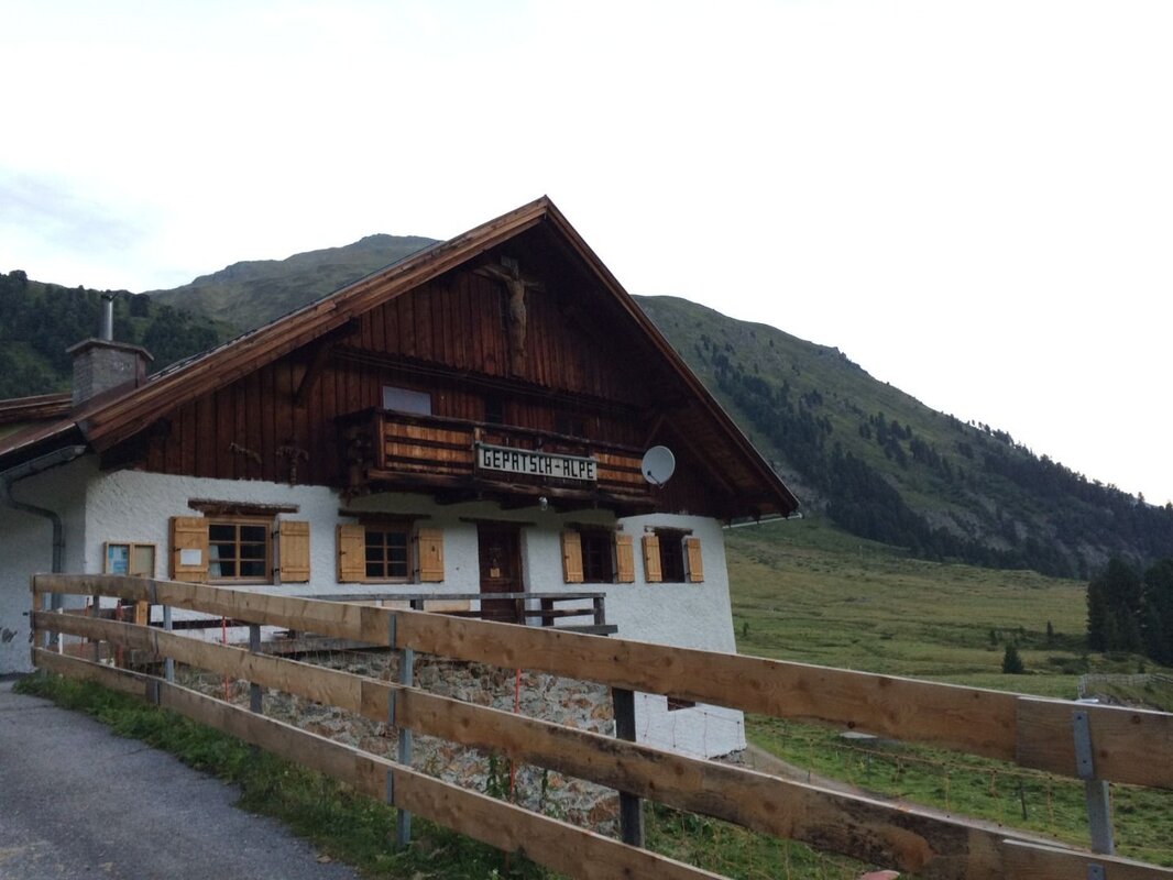
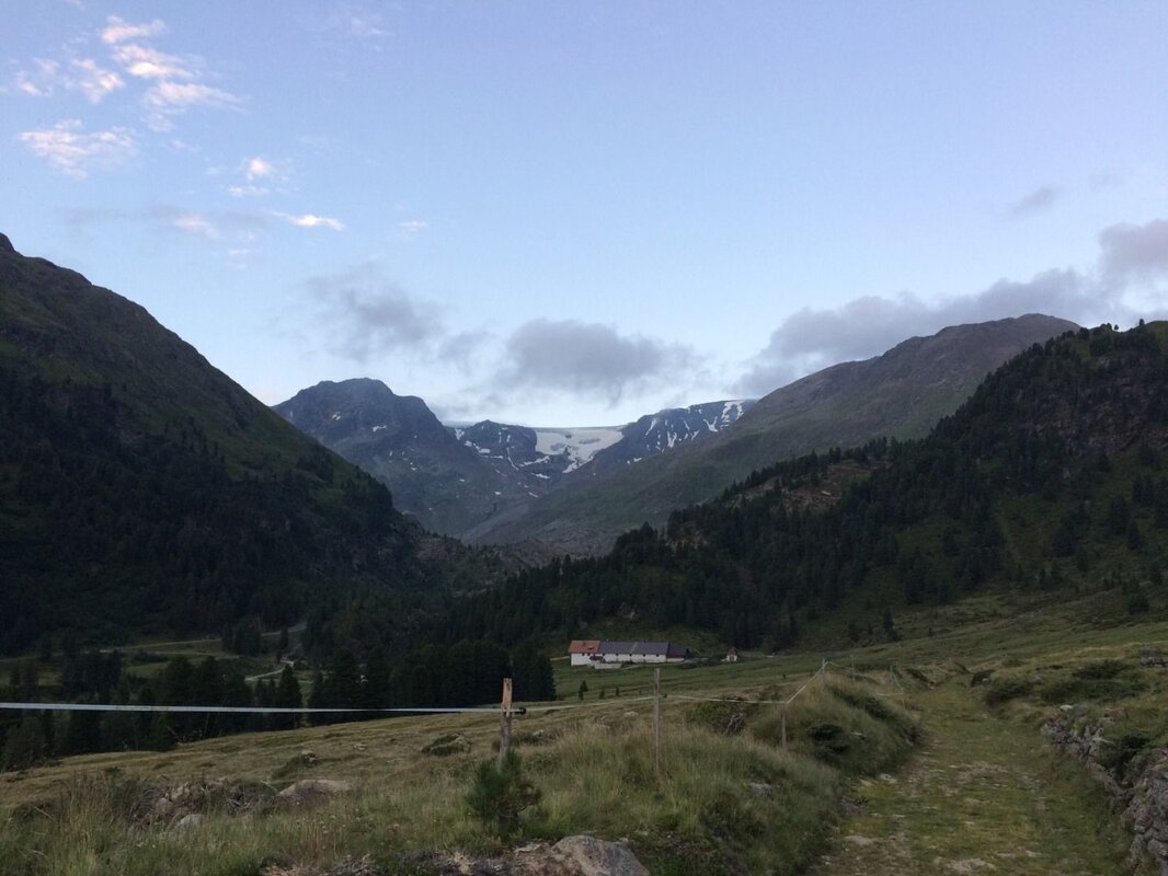
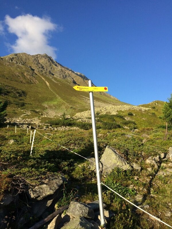
Setting off from the Gepatschhaus, follow the signs southward across beautifully flat grazing meadows. The Gepatschalm soon appears and is reached via the access track crossing the bridge on the right. The route winds alongside the alm before swinging north. A pleasant farm track leads to a wayside cross where the trail branches off towards the Nasserein Alm. After this gentle warm-up, the legs are perfectly primed for what lies ahead.
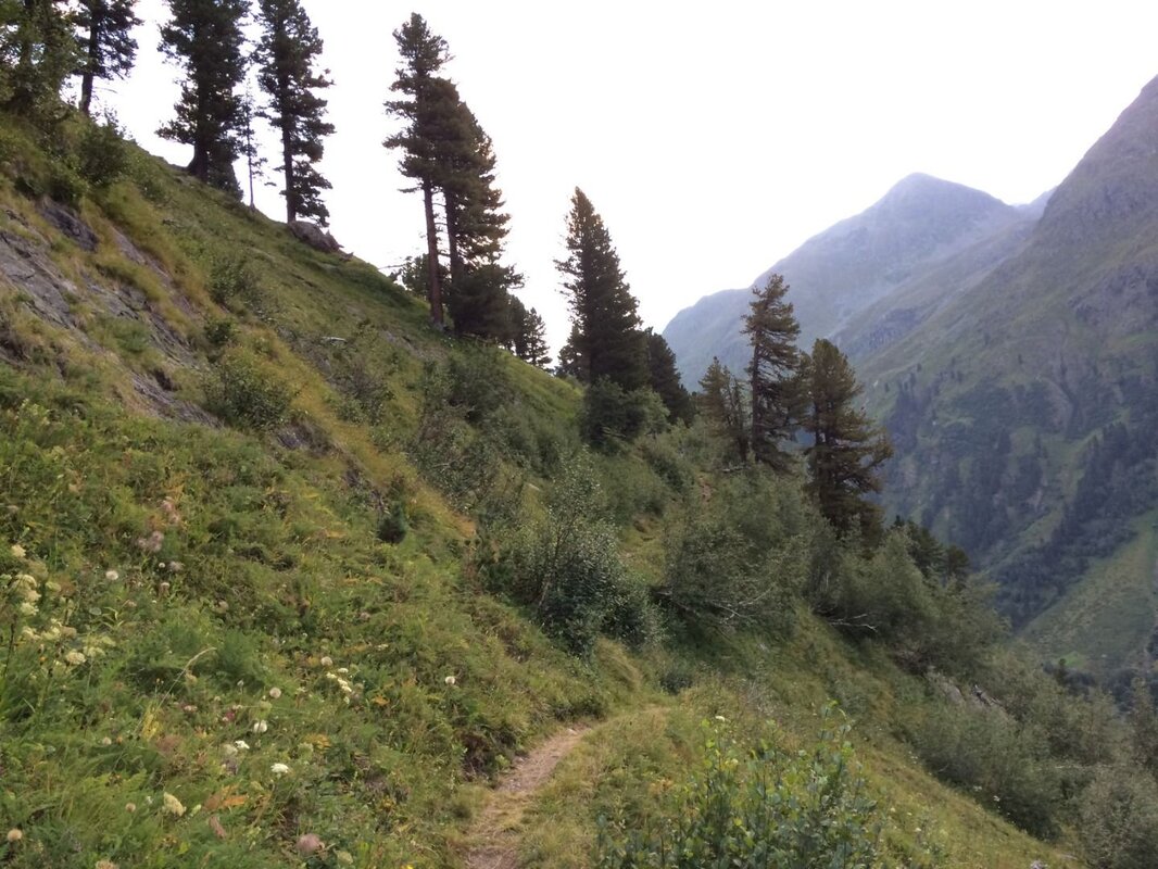
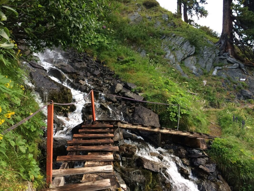
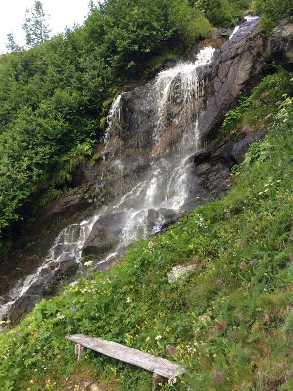
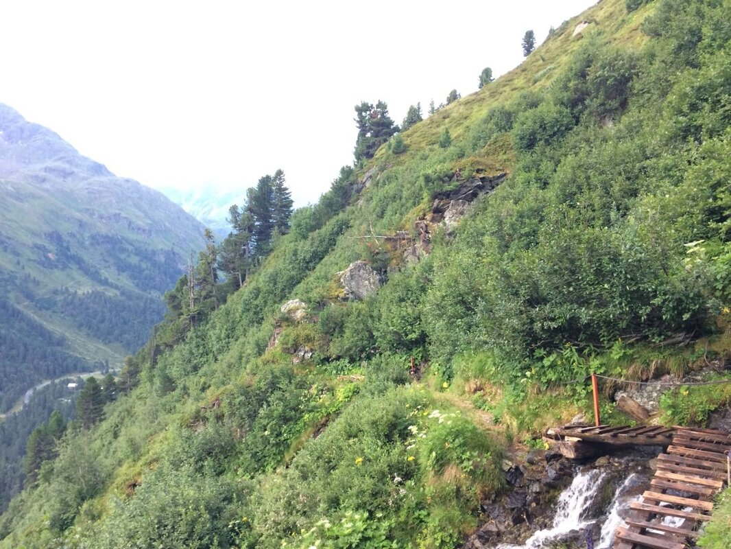
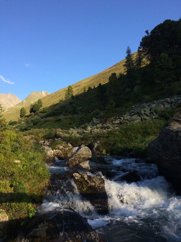
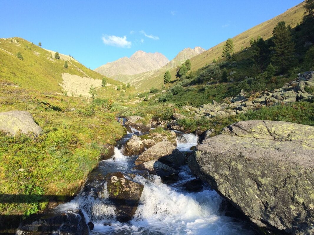
A beautiful Swiss stone pine forest awaits, its clearings offering captivating glimpses of the surroundings as you gain height steadily. A handful of secured sections follow - simple enough, but deserving of a little attention. Two stream crossings add a touch of adventure; the footbridges can be wet and slippery, so tread carefully. Just beyond, a bench beside a waterfall offers the perfect excuse for a break and the hardest climbing is already done.
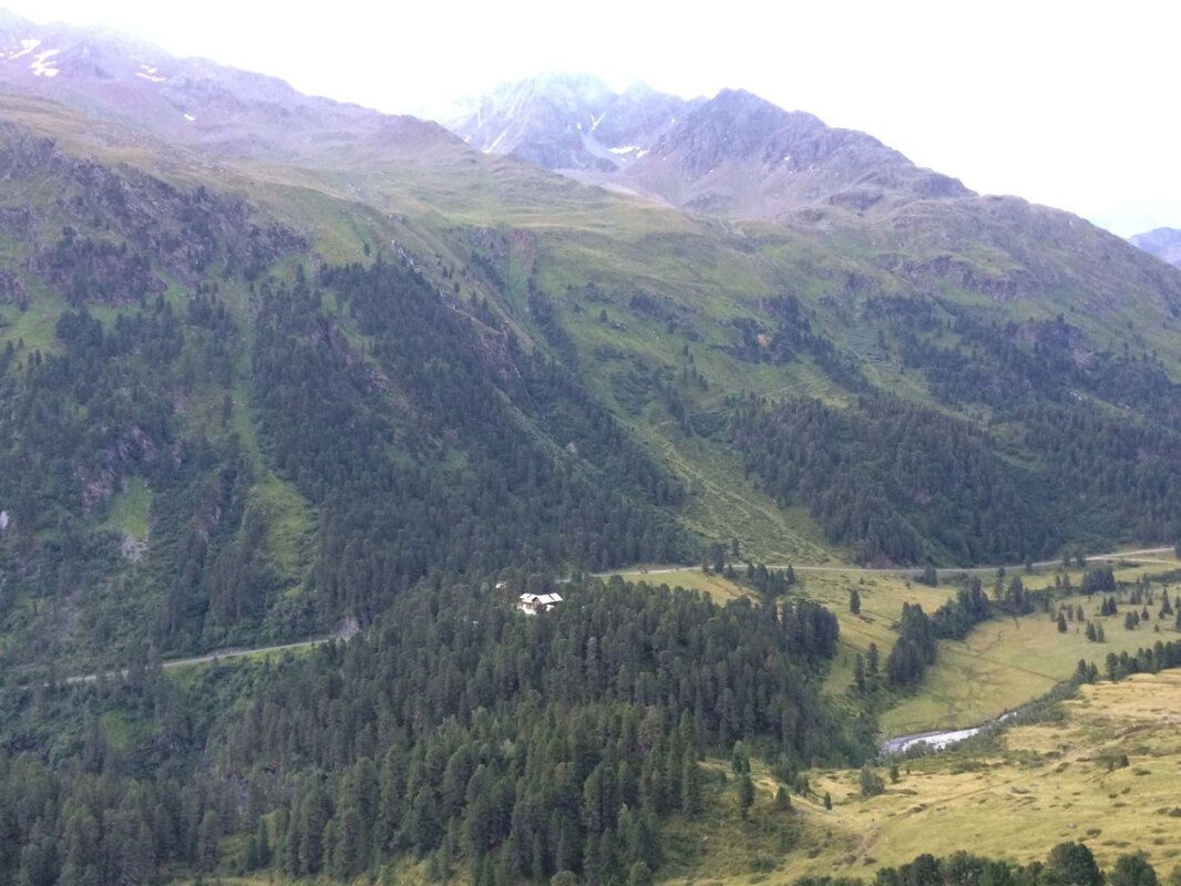
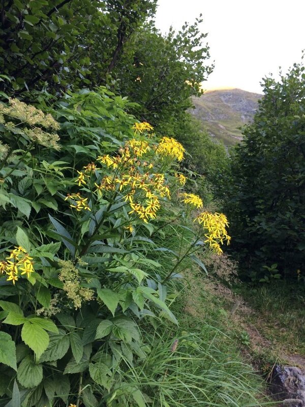
From here, the route meanders through the Breitlahn area at roughly constant altitude, with alpine roses and dwarf pines lining the path and roe deer occasionally making an appearance. At the white sign, two parallel paths diverge - take the lower route. A farm track soon joins from the left; follow it and let the panoramic views do the rest. A gentle rise delivers you to the Kaiserbergtal, where a stream crossing leads into the Swiss stone pine forest and down to the Nasserein Alm, a well-earned stop for refreshments.
From the alm, the access track leads back down to the reservoir. Turn left along the lakeside road to reach the dam wall and the Café Seepanorama, where a cold drink and a moment to savour the day's memories await.


